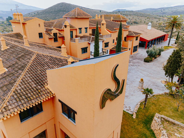
Mulhacén Ascent from Hoya del Portillo
Day ascent of Mulhacén (3,479 m), the highest peak in mainland Spain, from Hoya del Portillo above Capileira: about 25 km return and 1,400 m of ascent in Sierra Nevada National Park.
About Mulhacén Ascent from Hoya del Portillo
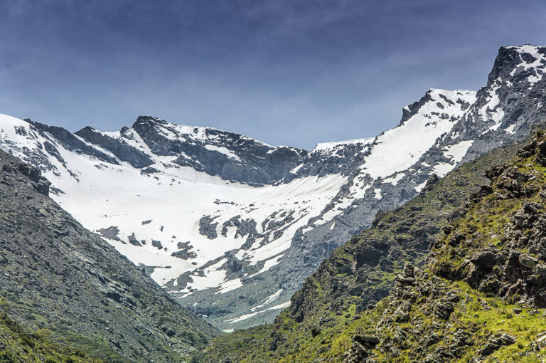
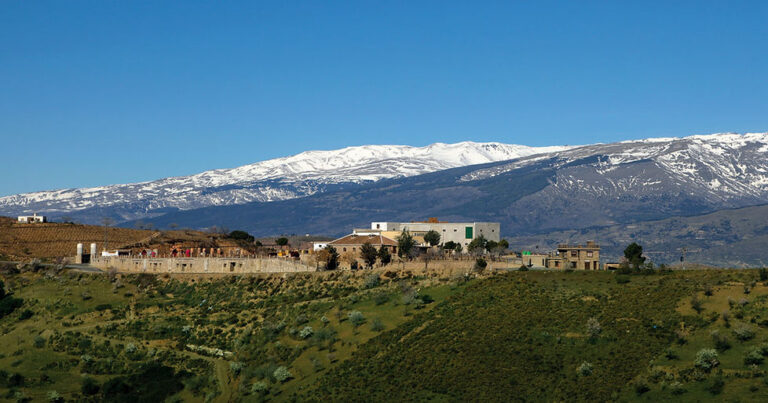
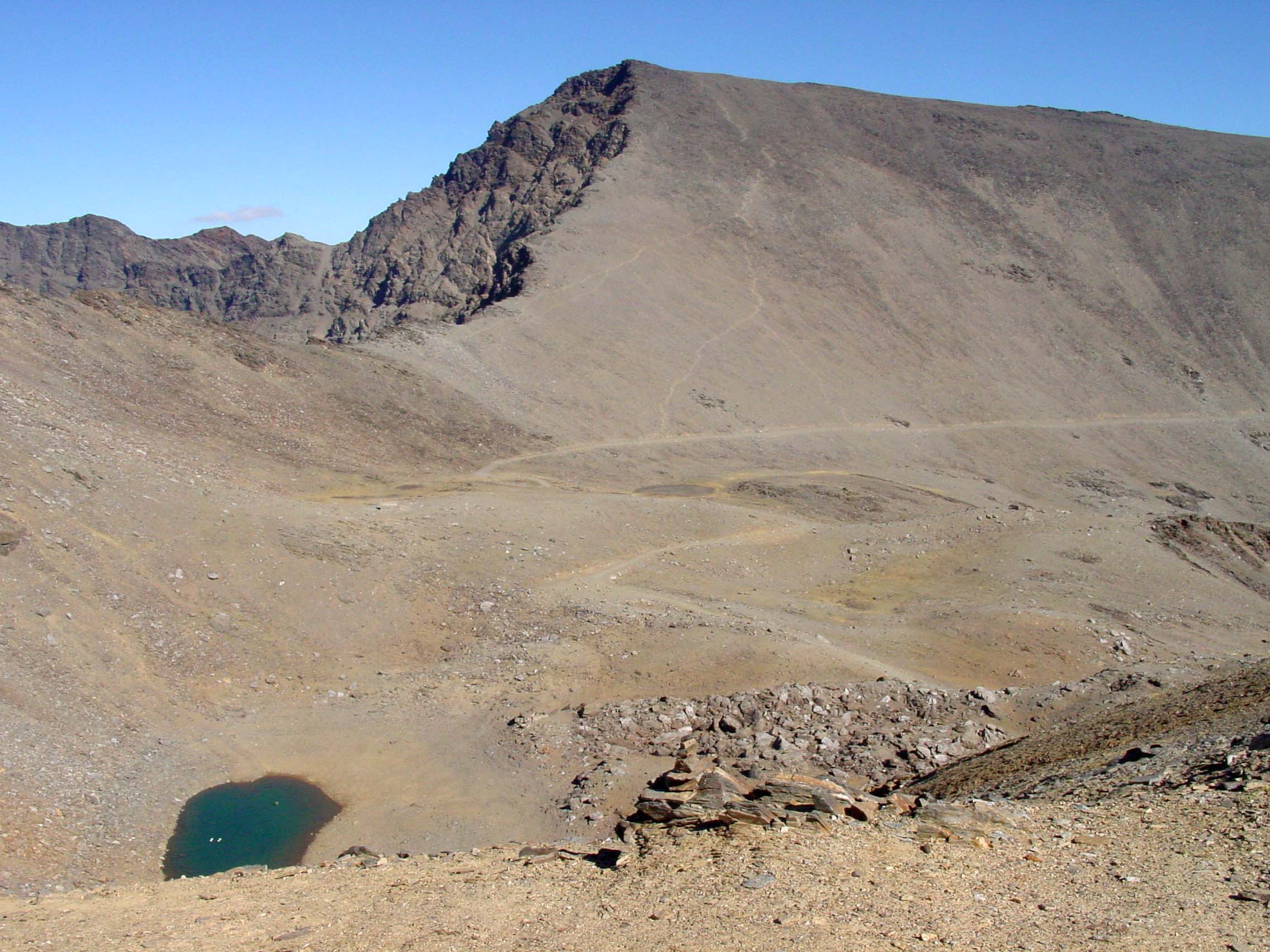
Mulhacén rises to 3,479 m in the Sierra Nevada National Park and is the highest mountain in mainland Spain. Its southern side is a long, gentle schist ridge, so in snow-free conditions the normal routes are long walks rather than climbs. Hoya del Portillo, a recreation area and control point at about 2,150 m on the old forest road from Capileira, is the usual start for a self-guided day ascent.
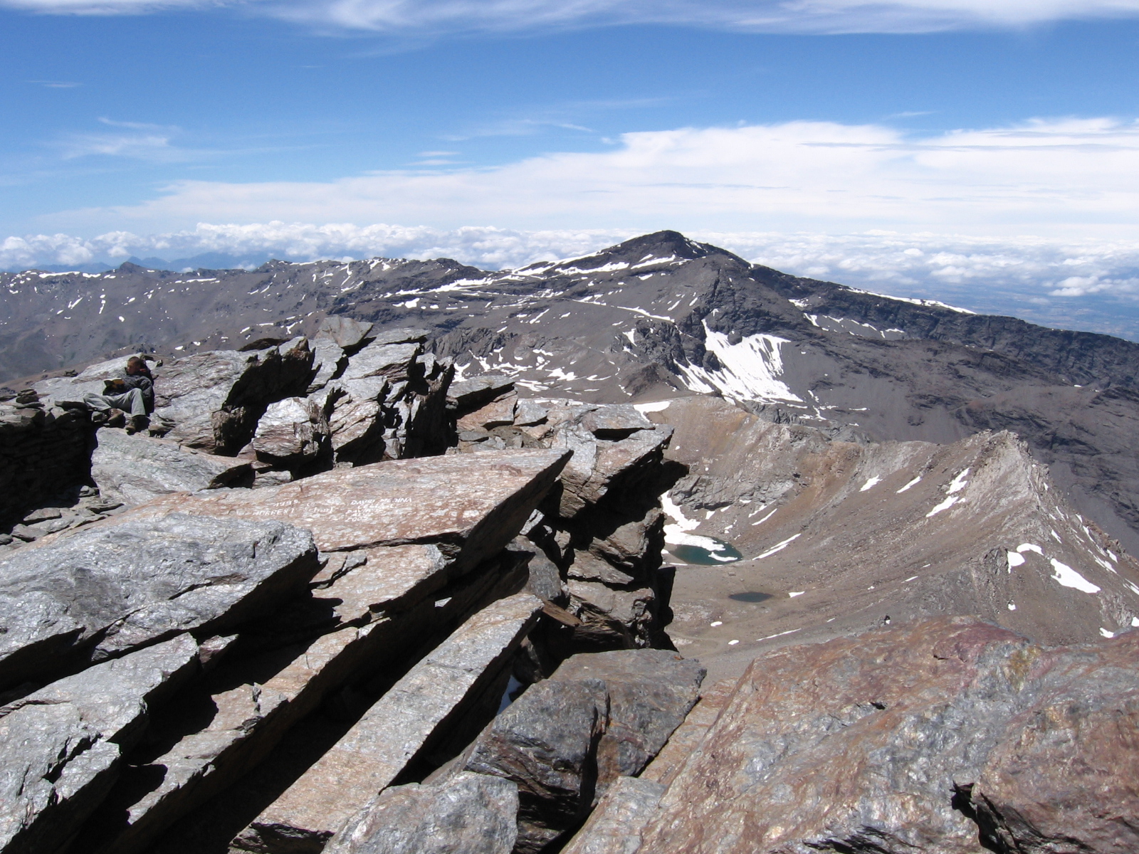
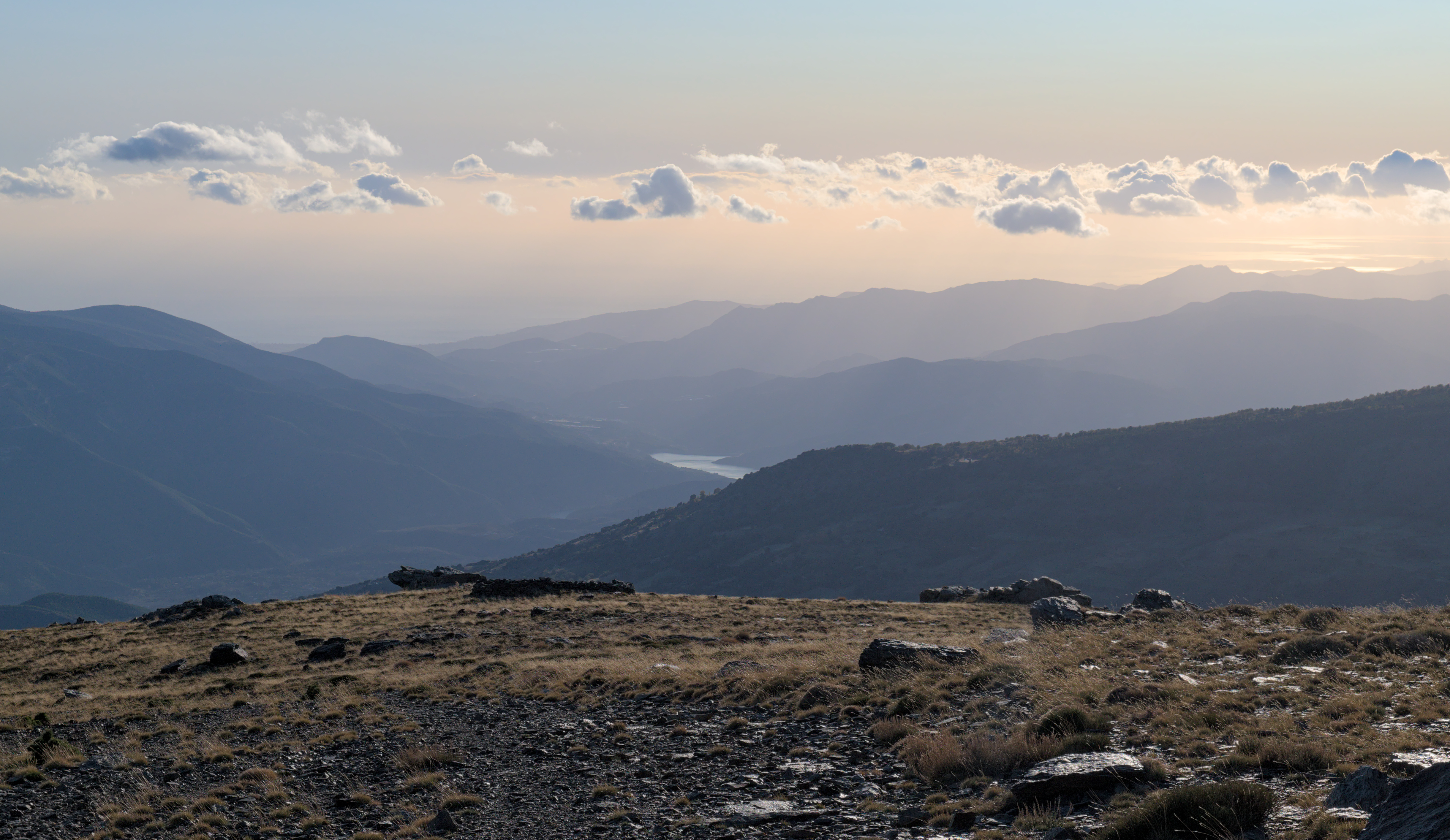
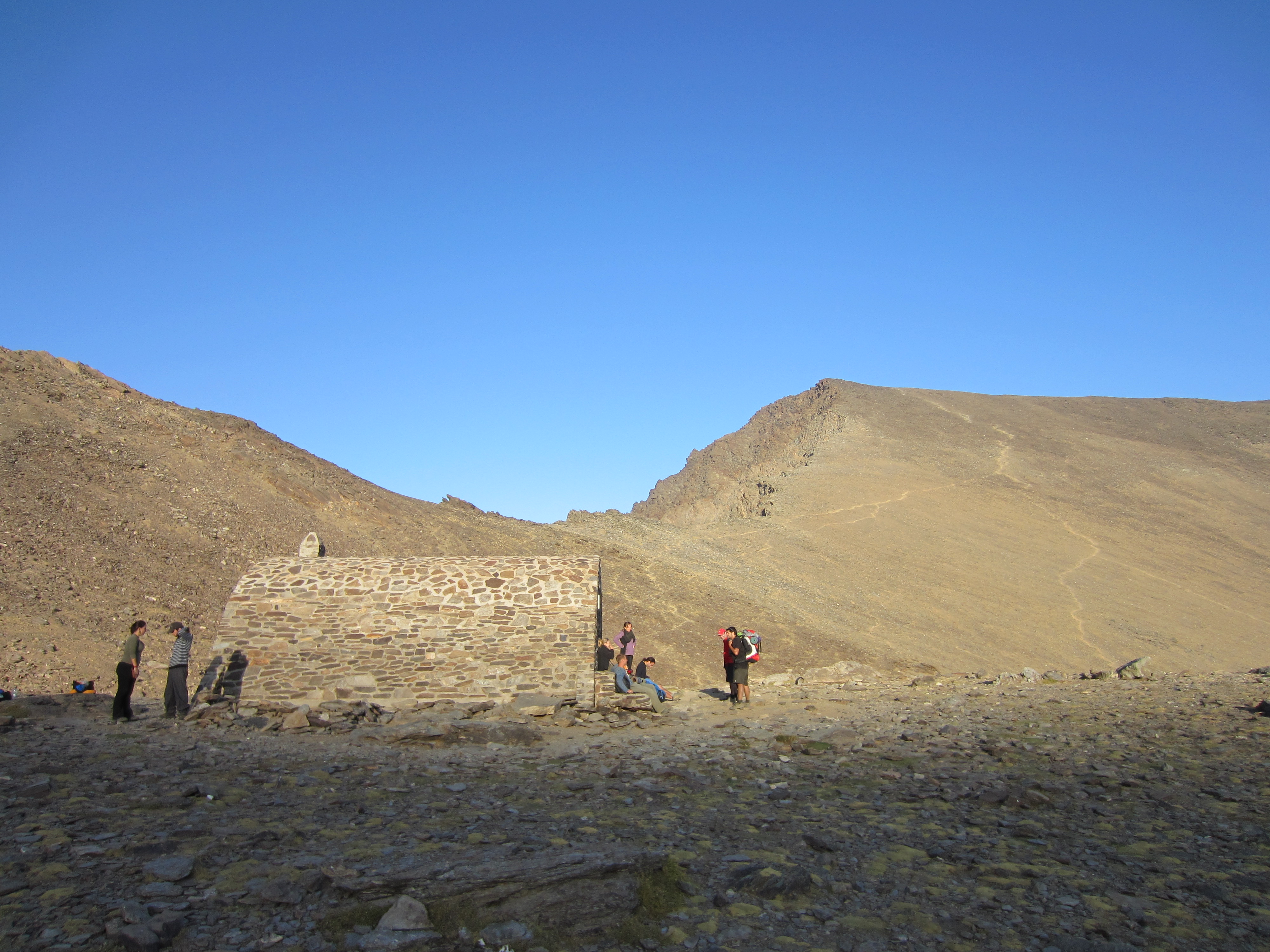
The route climbs north through pine plantation and open slopes, following the old track and short-cut paths to the Mirador de Trevélez, where the view drops into the Trevélez valley. A clear path then climbs the ridge over Mulhacén II to the summit, with views of the Veleta and the Laguna de la Caldera. Most parties return the same way: about 25 km with 1,400 m of ascent, nine to eleven hours.
In summer and autumn the park's guided microbus runs from Capileira to Puerto Molina and the Paraje del Cascajar, cutting the walk roughly in half; seats must be booked, and one-way fares were around €20 in 2026. Private cars cannot go beyond Hoya del Portillo. There is no water above the start, and the Refugio Poqueira is closed for renovation, with only its bivouac area open. Altitude, sun, wind and afternoon storms are the real hazards; in snow the route needs crampons, an ice axe and experience.
July to September is the main season. Start at dawn, carry 3 litres of water and warm layers, and set a turnaround time.
Mulhacén Ascent from Hoya del Portillo in pictures
What you’ll find
- Car parkParkingFree
- Free accessFree visitFree
- HikingWalking routeFree
- Linear routeOne-way trailFree
- Picnic areaPicnicFree
- Shuttle or busPublic transport (€20)Buy
- ViewpointScenic viewpointFree
Nearby places to visit
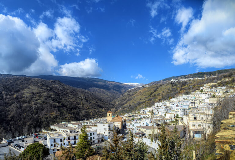
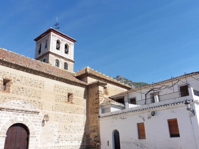
The route starts 2 km above Capileira, the highest of the three white villages of the Poqueira gorge and the base for the summer microbus, and 3 km from Bubión. The cured hams of the Vallejo Ham Museum and the mountain village of Trevélez are both 7 km east over the ridge. On a rest day, the lower La Cebadilla and Poqueira Gorge Circuit (2 km) explores the valley below the peaks, and stables in Bubión run Horse Riding in the Alpujarra (3 km) on the old mule paths that once linked the villages with the high pastures.
Mulhacén Ascent from Hoya del Portillo at a glance
Category
Sports Outdoor adventures
Location
Alpujarra Granadina, Granada
Town
Bubión
Address
Área recreativa Hoya del Portillo, old GR-411 track from Capileira to the Veleta, 18412 Bubión, Granada, Spain
Opening hours
Hiking season usually June to October, depending on snow. The SIAC microbus from Capileira runs only in summer and autumn and must be booked; private vehicles stop at Hoya del Portillo.
Prices
Free; parking at Hoya del Portillo free. SIAC microbus from Capileira around €20 one way (2026, check when booking).
Checked 5 Nov 2026 on the official website. Times and prices can change, so confirm before you go.
Phone
+34 671 564 406
More places nearby
Other places within 25 km of Mulhacén Ascent from Hoya del Portillo, nearest first.