La Cebadilla and Poqueira Gorge Circuit
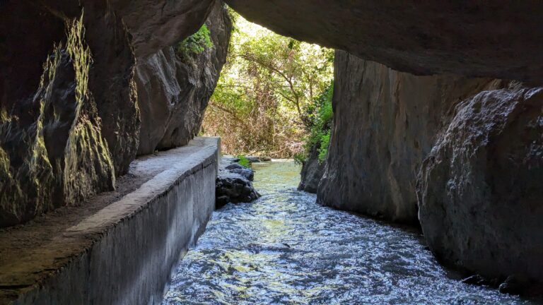
Waymarked PR-A 69 loop from Capileira into the Poqueira gorge to La Cebadilla, the old hydro-electric village: about 8 km and 450 m of ascent on mule paths, irrigation channels and bridges.
About La Cebadilla and Poqueira Gorge Circuit
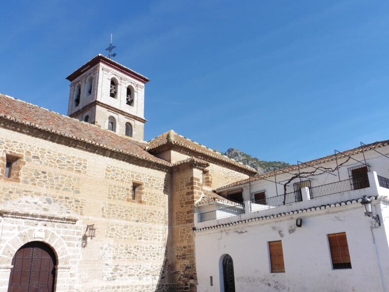
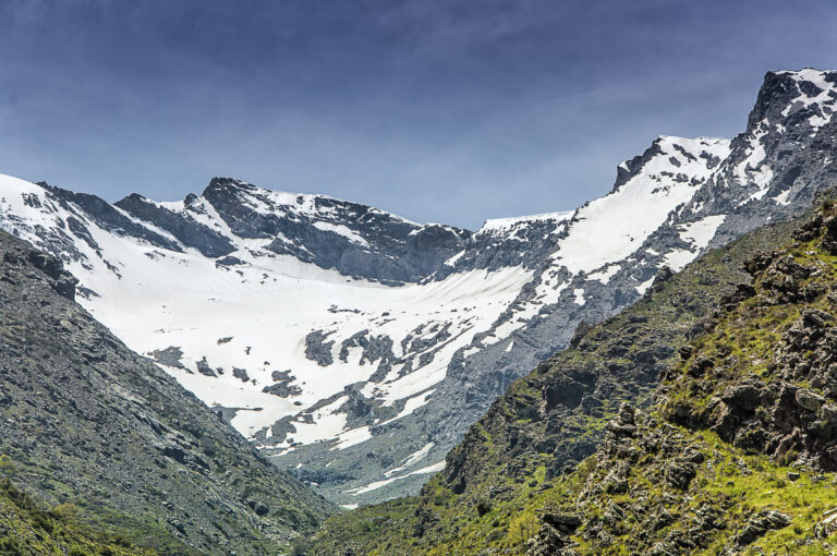
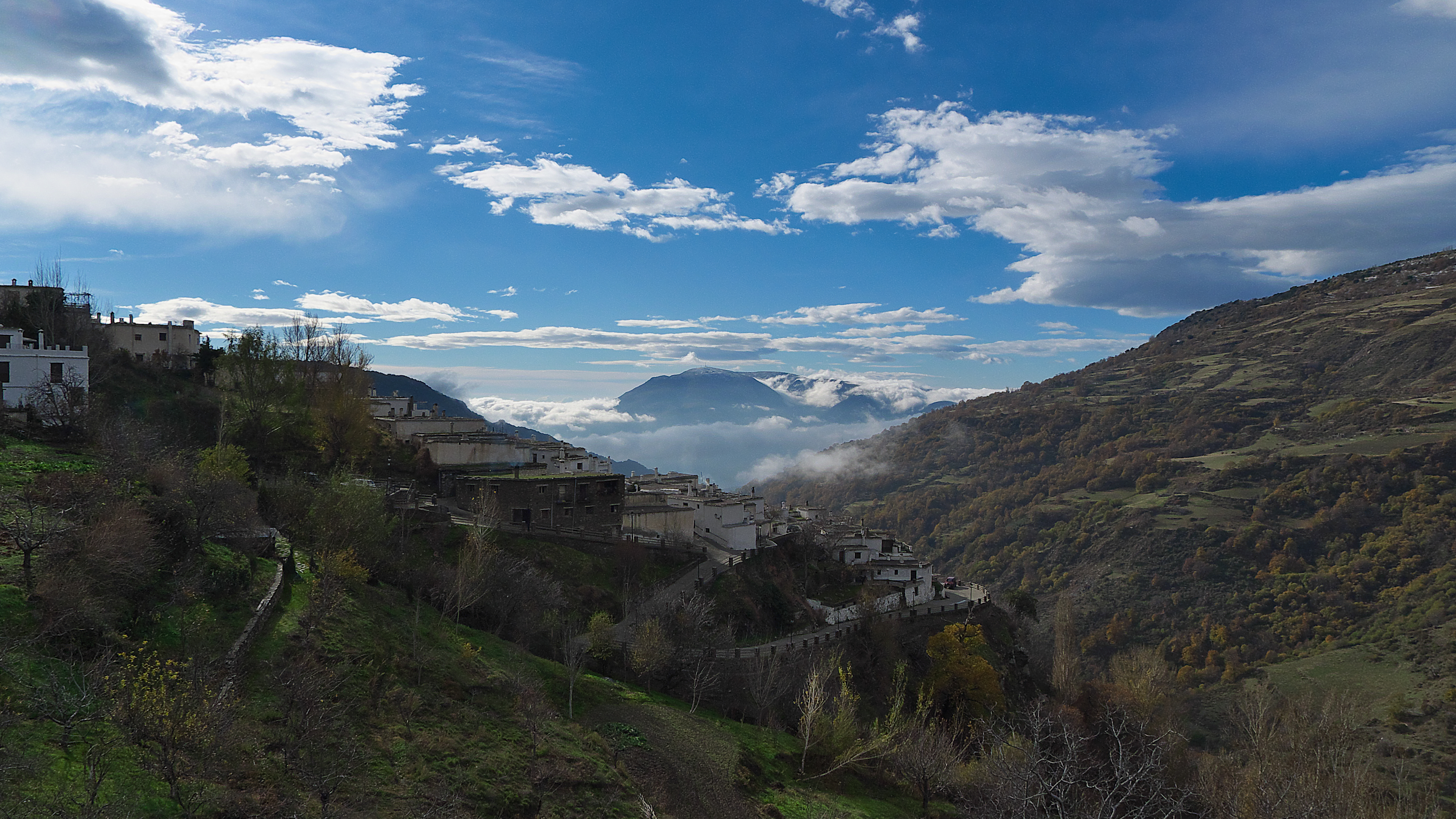
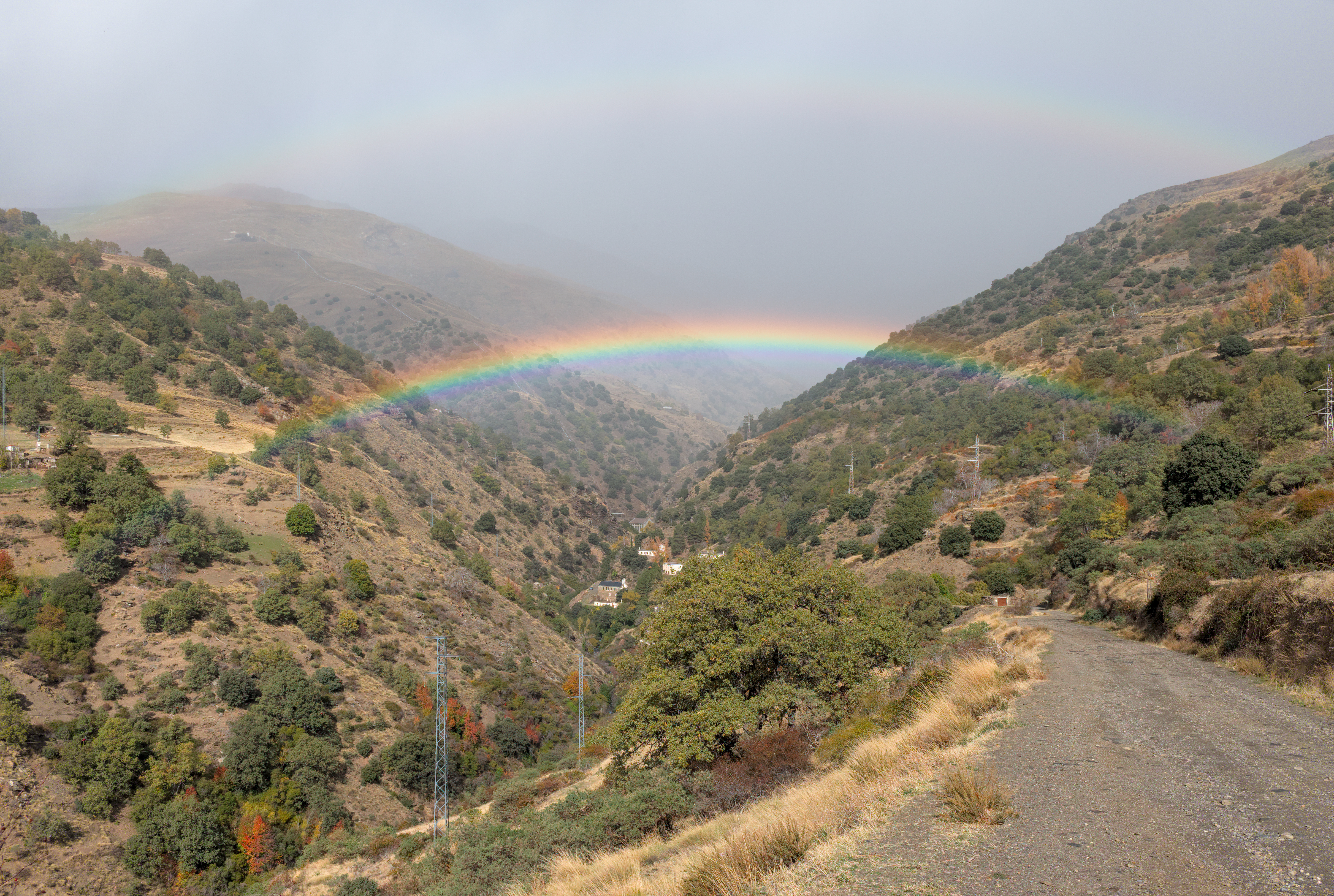
The Barranco de Poqueira is one of the deepest valleys on the south side of Sierra Nevada, and its villages, Pampaneira, Bubión and Capileira, keep the flat-roofed houses typical of the Alpujarra. The PR-A 69 follows the traditional route from Capileira towards the high mountains as far as La Cebadilla, the workers' village built in the 1950s beside the Poqueira hydro-electric power station, where the Toril and Naute streams join to form the Poqueira.
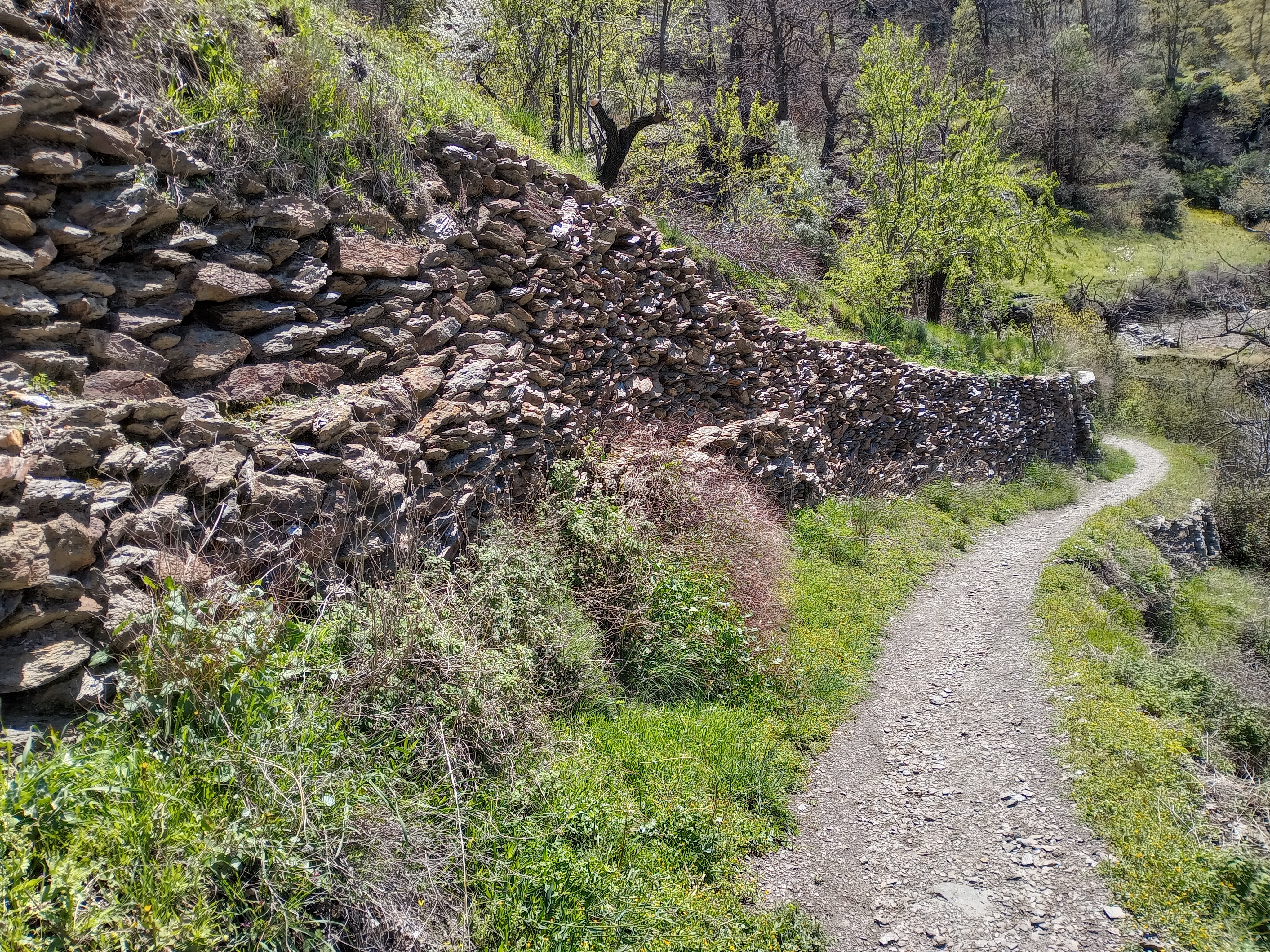
The path leaves the top of Capileira (1,436 m) between Calle Castillo and Calle Carril on a cobbled mule path and follows the Acequia de los Lugares, an irrigation channel (acequia) of Moorish origin, to the track to La Cebadilla, about 1 hour 15 minutes from the start. Beyond the power station, the return crosses to the far bank and descends past terraces and farmhouses to a shady poplar grove with river pools. The Puente Abuchite crosses the river, and a steep climb, shared with the GR-240 Sendero Sulayr, leads back to the village.
The loop is about 8 km with roughly 450 m of ascent; the Junta rates it medium and allows three and a half hours. It is free and waymarked, though some junctions need care. Water is available only in Capileira, and the final climb is exposed to afternoon sun. Park in Capileira's public car park.
Spring and autumn are best; in summer start early. Wear boots for the cobbles, or extend the day on the PR-A 23 Acequias del Poqueira.
La Cebadilla and Poqueira Gorge Circuit in pictures
What you’ll find
- Car parkParkingFree
- Circular routeLoop trailFree
- Family friendlyEasy for childrenFree
- Free accessFree visitFree
- HikingWalking routeFree
- ViewpointScenic viewpointFree
Nearby places to visit
The loop starts in the white village of Capileira (0 km), and the other two Poqueira villages, Bubión and Pampaneira, are 1 and 2 km down the gorge, linked by old footpaths. The highest summit in mainland Spain is reached on the Mulhacén Ascent from Hoya del Portillo, whose trailhead lies 2 km to the east, and Horse Riding in the Alpujarra from Bubión (2 km) follows similar mule paths and acequias on horseback. The ham-curing village of Trevélez and its Vallejo Ham Museum are 9 km east by road.
La Cebadilla and Poqueira Gorge Circuit at a glance
Category
Sports Outdoor adventures
Location
Alpujarra Granadina, Granada
Town
Capileira
Address
Calle Carril, upper Capileira (start of the PR-A 69), 18413 Capileira, Granada, Spain
Opening hours
Open all year; best from March to June and September to November. In July and August start before 09:00. Icy patches are possible in mid-winter.
Prices
Free; parking in Capileira's public car park.
Checked 5 Nov 2026 on the official website. Times and prices can change, so confirm before you go.
Website
juntadeandalucia.es/medioambiente/portal/documents/20151/4a4d6289-dda2-744c-7728-344ca0da095b
More places nearby
Other places within 25 km of La Cebadilla and Poqueira Gorge Circuit, nearest first.