Torrecilla from Los Quejigales
Waymarked SL-A 140 from Los Quejigales to Torrecilla (1,919 m), summit of the Sierra de las Nieves National Park: 7.4 km each way through Spanish fir woods, about 800 m of ascent.
About Torrecilla from Los Quejigales
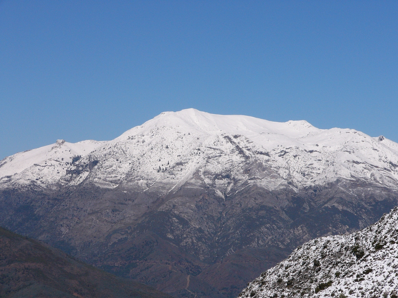
Sierra de las Nieves became Spain's 16th national park in 2021, mainly to protect its pinsapares, forests of Spanish fir (Abies pinsapo) that survive in only a few mountains of southern Spain and northern Morocco. The SL-A 140 is the park's most popular trail and climbs from the Los Quejigales recreation area to Torrecilla, at 1,919 m the highest summit in western Andalucía.
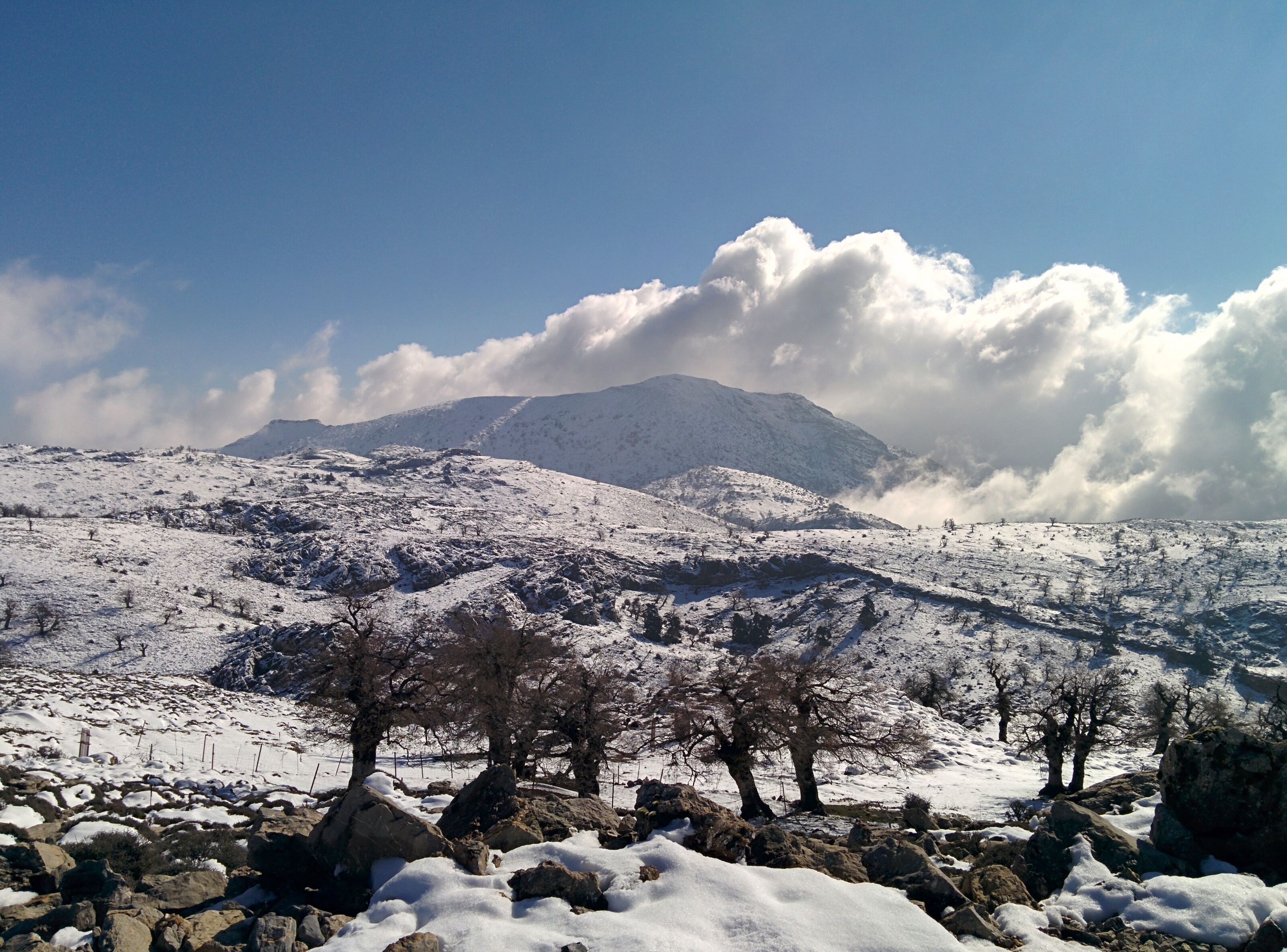
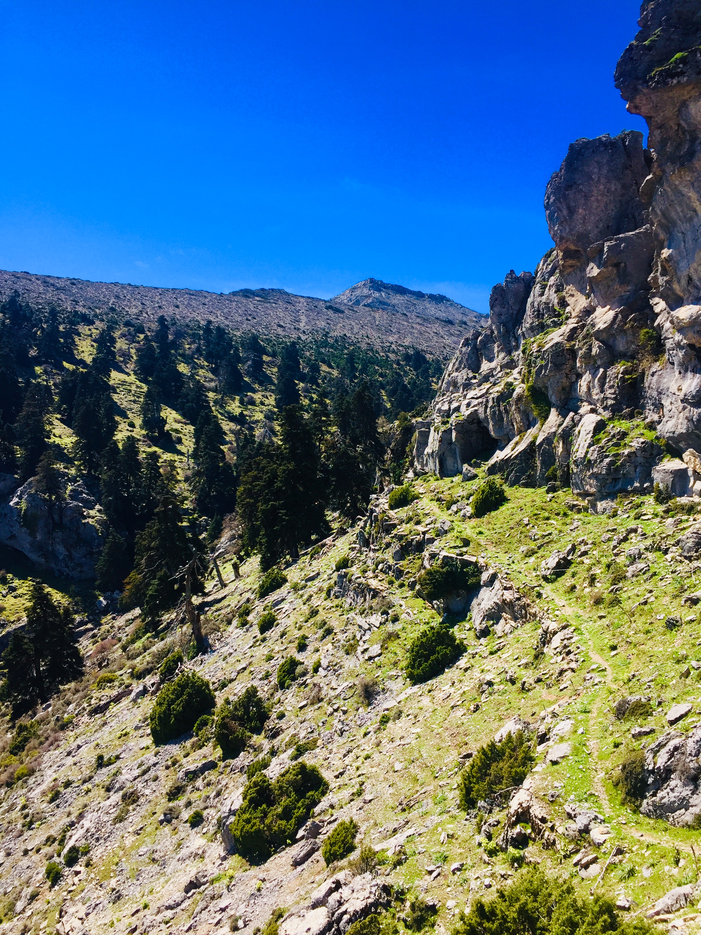
From the recreation area, a chained track follows the Arroyo de las Carboneras; after 100 m the signed path turns right and climbs steeply up the Cañada del Cuerno through centuries-old firs. At the Puerto de los Pilones the woods give way to gnarled mountain oaks and high pasture, and the path passes a restored snow pit and crosses karst sinkholes to the Pilar de Tolox spring at the foot of the peak, before the last steep pull to the top. The Junta gives 7.4 km each way and three and a half hours up; allow about 800 m of ascent.
Los Quejigales lies at the end of a 13 km dirt track from the A-397 Ronda–San Pedro road. The track is closed to vehicles from 1 June to 15 October because of fire risk, which makes the hike much longer in summer. The recreation area has free parking, picnic tables, water and toilets. Snow and cloud are common in winter; the route suits fit walkers with mountain experience.
Late October to May is best. Carry 2–3 litres of water, warm layers and a GPS track, and start early.
Torrecilla from Los Quejigales in pictures
What you’ll find
- Car parkParkingFree
- Free accessFree visitFree
- HikingWalking routeFree
- Linear routeOne-way trailFree
- Picnic areaPicnicFree
- ToiletsPublic toiletsFree
- ViewpointScenic viewpointFree
Nearby places to visit
Ronda's sights are 12 km north-west across the mountains: the gorge of El Tajo de Ronda, spanned by the Puente Nuevo, and the Arab Baths of Ronda make a good half-day after the walk. Olive oil is produced at Almazara El Toro and wine at Cortijo Los Aguilares, both about 12 km away on the Ronda side of the park, and the white village of Istán lies 15 km south-east above the Verde valley. Climbers can add the limestone walls of El Chorro Climbing, 35 km to the north-east, for a second active day in the province.
Torrecilla from Los Quejigales at a glance
Category
Sports Outdoor adventures
Location
Serranía de Ronda, Málaga
Town
Ronda
Address
Área recreativa Los Quejigales, start of the SL-A 140, 29400 Ronda, Málaga, Spain
Opening hours
Open all year. The access track to Los Quejigales is closed to vehicles from 1 June to 15 October (fire risk); snow and ice are common from December to March.
Prices
Free; free parking at the Los Quejigales recreation area when the track is open.
Checked 5 Nov 2026 on the official website. Times and prices can change, so confirm before you go.
More places nearby
Other places within 25 km of Torrecilla from Los Quejigales, nearest first.