Linares de la Sierra to Alájar Walk
A signposted 4.4 km walk on old walled mule tracks over El Caracol (764 m) between Linares de la Sierra and Alájar, in the Sierra de Aracena park, with views of the Peña de Arias Montano.
About Linares de la Sierra to Alájar Walk
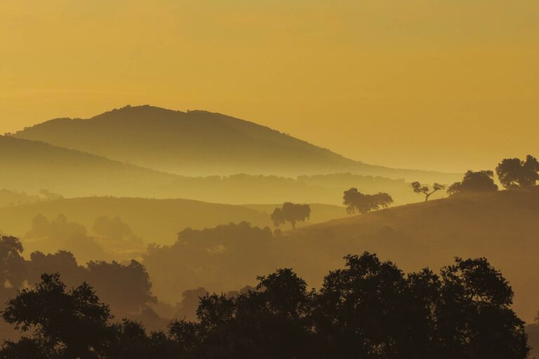
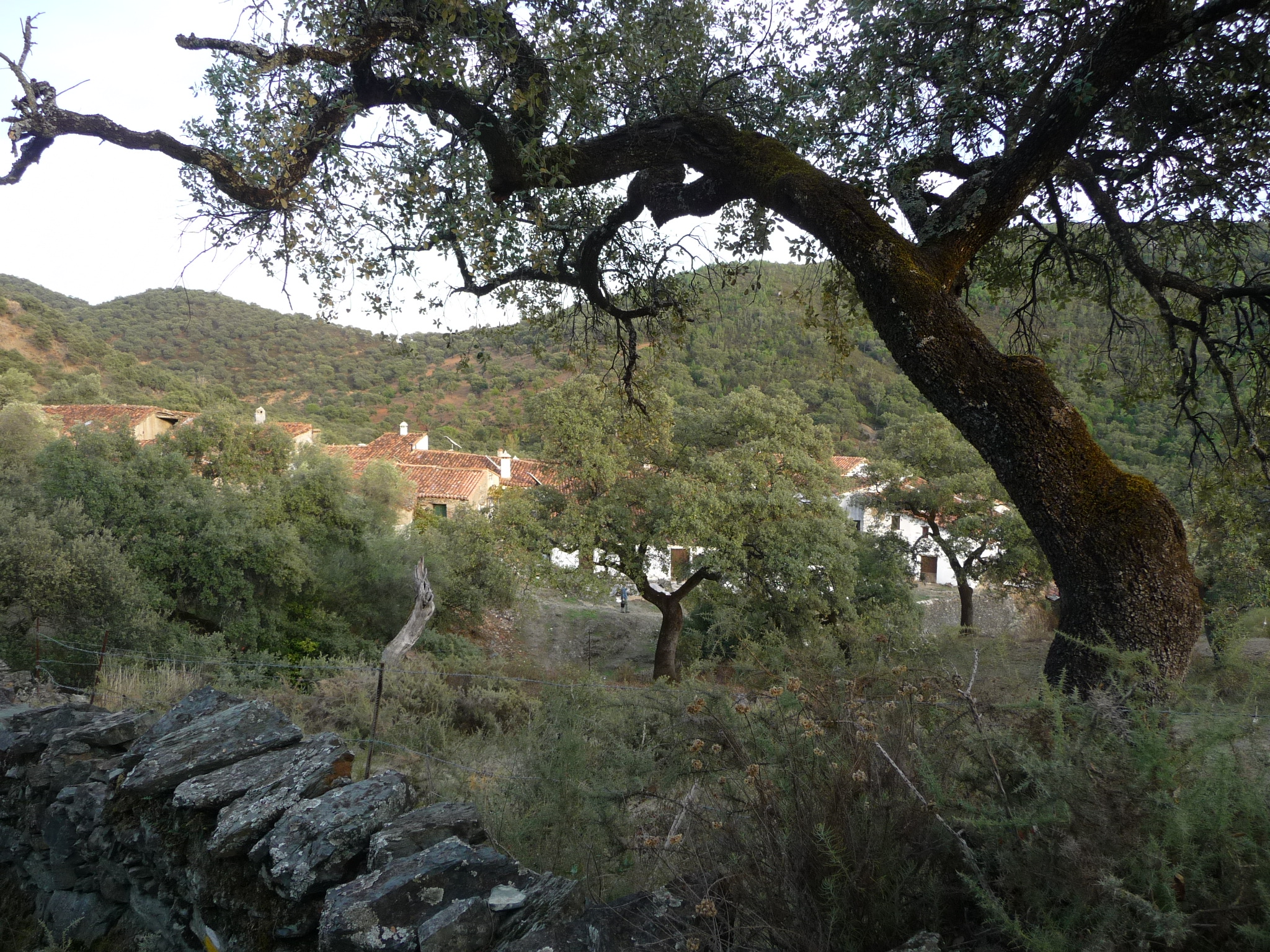
The Sierra de Aracena y Picos de Aroche Natural Park has the densest network of villages in Sierra Morena, linked by old paths between dry-stone walls. This signposted park trail, 'Linares de la Sierra a Alájar por El Caracol', follows parts of the old tracks between the two villages and the hamlet of Los Madroñeros, cutting over El Caracol hill (764 m). Muleteers once used it to move goods.
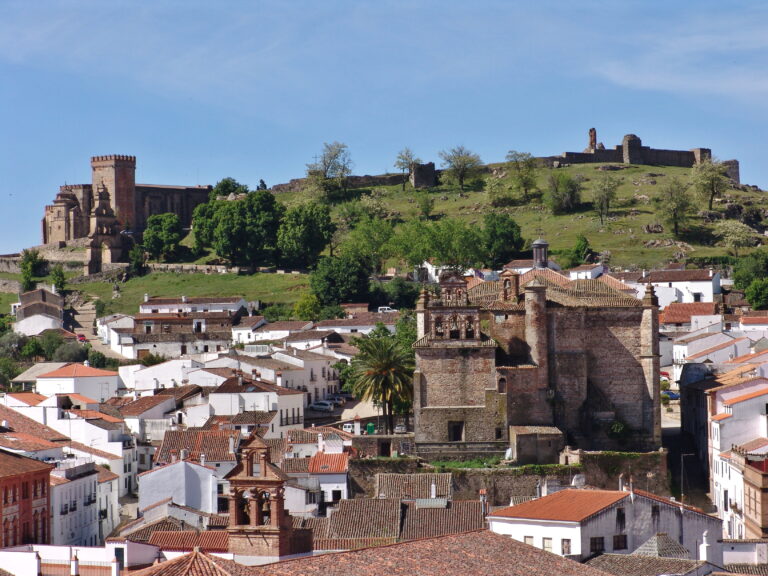
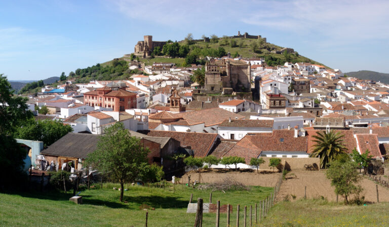
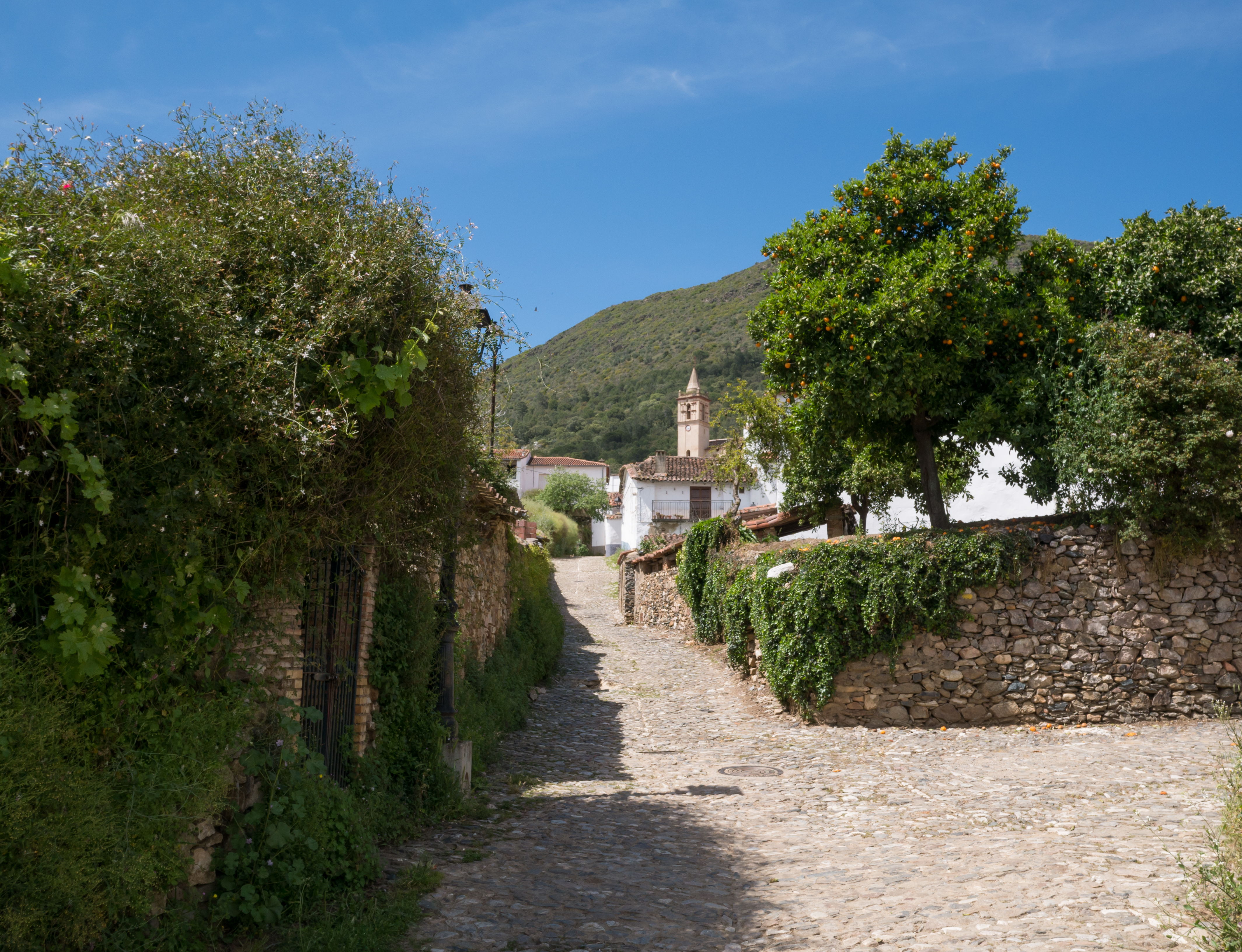
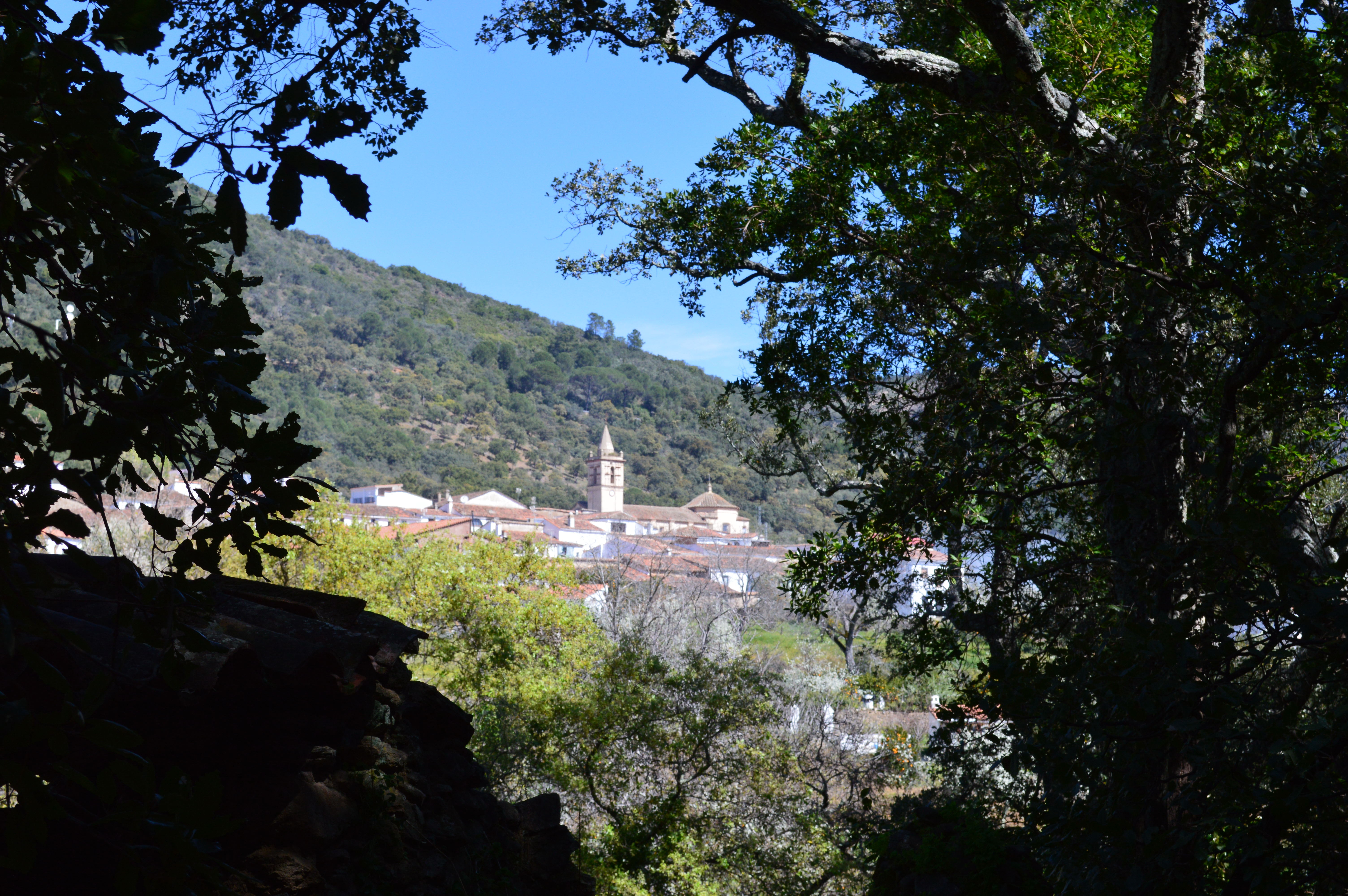
In Linares de la Sierra, known for the pebble mosaics at its doorsteps, the trail starts at the end of Calle Encina, past the car park, beside the alders of the Ribera de Linares. It climbs between walls through holm and cork oaks and pasture, crosses the shoulder of El Caracol and descends through shadier woodland into Alájar, where Calle Concepción meets Calle Pintor Antonio Milla. Southern views take in both villages and the Peña de Arias Montano. It is 4.4 km one way, about 2 hours, rated easy.
The route is free and open all year. Return the same way, or make a 10 km loop via Los Madroñeros on the waymarked SL-A 126. Park free in Linares; water is only at village fountains and bars. Close farm gates and keep dogs on a lead, as pigs and cattle graze here. The stone paving is slippery after rain.
Late October and November bring autumn colour; March to May bring flowers. Avoid midday in summer. Bring 1.5–2 L of water and boots with grip, and time it to arrive in Alájar for lunch.
Linares de la Sierra to Alájar Walk in pictures
What you’ll find
- Car parkParkingFree
- Dogs allowedDogs on leadFree
- Family friendlyEasy for childrenFree
- Free accessFree visitFree
- HikingWalking routeFree
- Linear routeOne-way trailFree
- ViewpointScenic viewpointFree
Nearby places to visit
The trail starts in Linares de la Sierra, one of the smallest villages of the park, with its square-cum-bullring and mosaic doorways. At the far end, Alájar (4 km) sits below the Peña de Arias Montano (4 km), a rocky balcony with a hermitage and wide views over the dehesa. Uphill, Fuenteheridos (5 km) has the springs and chestnut woods at the source of the Múrtigas, and in Aracena the Gruta de las Maravillas (5 km) is a show cave of lakes and formations under the castle hill.
Linares de la Sierra to Alájar Walk at a glance
Category
Sports Outdoor adventures
Location
Sierra de Huelva, Huelva
Town
Linares de la Sierra
Address
End of Calle Encina, past the municipal car park, by the Ribera de Linares, 21207 Linares de la Sierra, Huelva, Spain
Opening hours
Open all year. In July and August walk before 11:00; after heavy rain the stone paving and stream crossings are slippery.
Prices
Free; free municipal parking in Linares de la Sierra.
Checked 5 Nov 2026 on the official website. Times and prices can change, so confirm before you go.
More places nearby
Other places within 25 km of Linares de la Sierra to Alájar Walk, nearest first.