Sendero del Acantilado de Barbate
A 7.2 km linear walk (about 2 hours) on the cliff top of La Breña y Marismas del Barbate Natural Park, from Barbate past the 16th-century Torre del Tajo to Los Caños de Meca.
About Sendero del Acantilado de Barbate
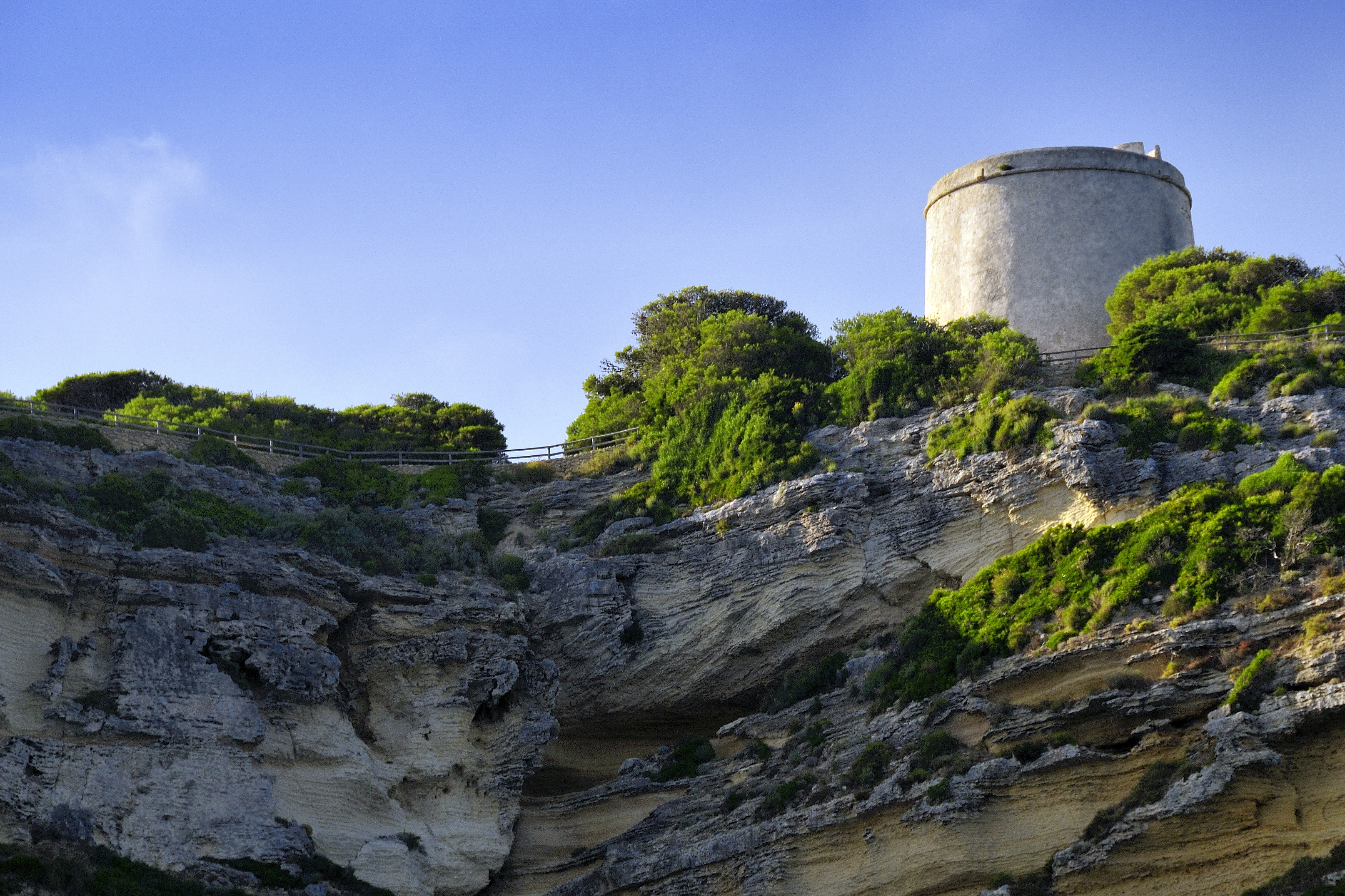
The Sendero del Acantilado follows the cliff top between Barbate and Los Caños de Meca in the Parque Natural de La Breña y Marismas del Barbate. The coast rises here in layered sandstone walls of up to about 100 m, with seabird ledges and springs seeping from the rock. Inland spreads La Breña, a young stone-pine forest planted to hold the dunes. On the highest point stands the Torre del Tajo, a 16th-century watchtower built against pirate raids.
The start is above Playa de la Hierbabuena at the west end of Barbate, by the fishing port, with a car park for about 50 cars; a second access is on the A-2233. A sandy track climbs gently into the pines. After about 3 km a short path leads to the Torre del Tajo viewpoint, looking back to Barbate and, on clear days, to Morocco. The route continues west through pine and juniper to Los Caños de Meca: 7.2 km, about 2 hours, height range 5–104 m.
Free, waymarked, no permit. It is linear, so walk back (14 km in all) or take a taxi. Side tracks lead to unfenced cliff edges: keep to the route, hold children's hands at the viewpoint and keep dogs on a lead. There is no water and only patchy shade. Forest access can be restricted on days of extreme fire risk. Suits families with older children.
Best from October to June, in the morning. Bring 2 litres of water and binoculars. Tip: walk from Barbate in the afternoon and finish with a swim at Los Caños de Meca.
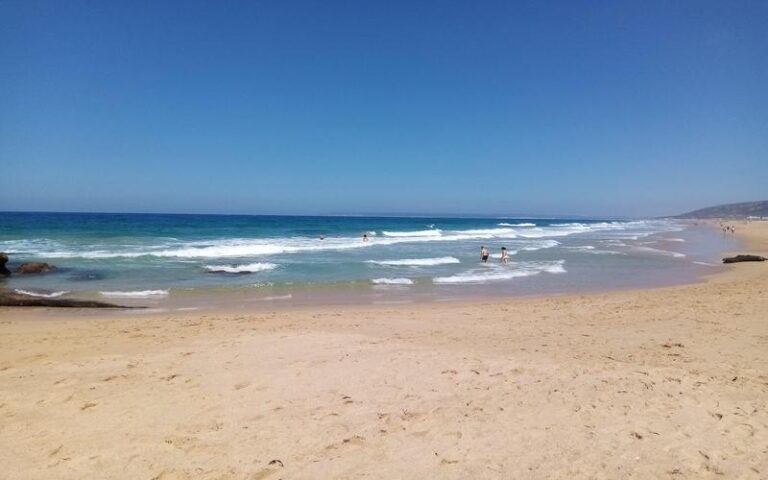
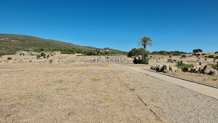
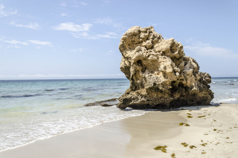
Sendero del Acantilado de Barbate in pictures
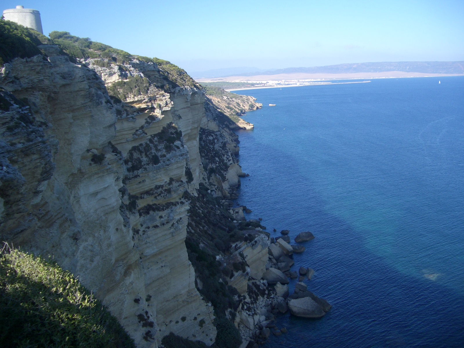
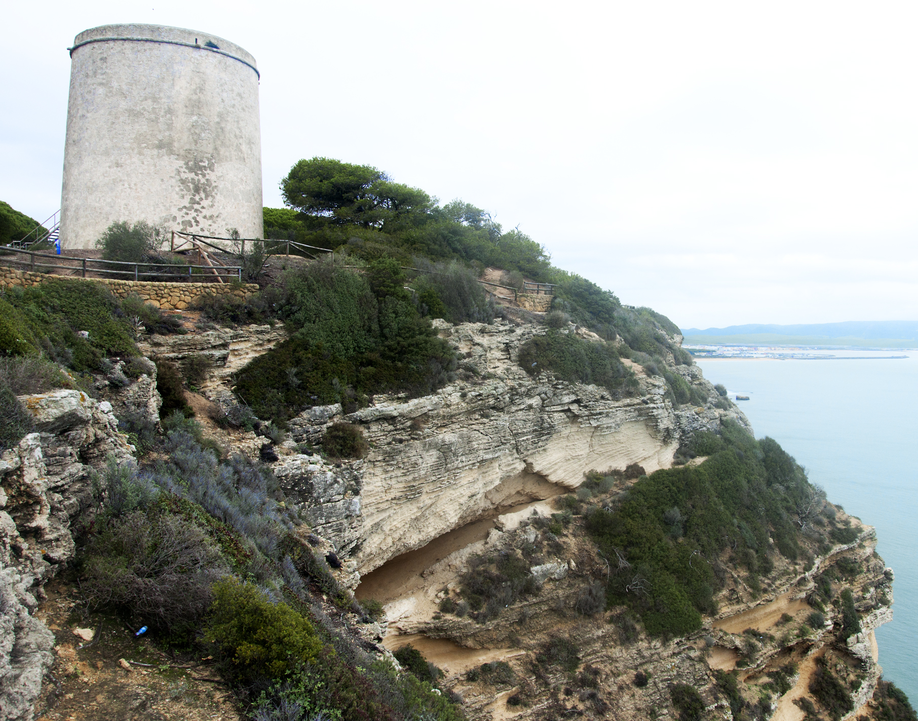
What you’ll find
- Car parkParkingFree
- Dogs allowedDogs on leadFree
- Family friendlyEasy for childrenFree
- Free accessFree visitFree
- HikingWalking routeFree
- Linear routeOne-way trailFree
- ViewpointScenic viewpointFree
Nearby places to visit
The walk ends at Playa de Los Caños de Meca (6 km), with its cliff-foot springs and beach bars, and the coast continues to Playa del Cabo de Trafalgar (9 km) and its lighthouse on a sandy isthmus. In Barbate, Playa del Carmen (Barbate) (2 km) is the long town beach, and El Campero (1 km) is the place to try the local almadraba bluefin tuna, caught in traditional fixed nets each spring. Inland, the white hill town of Vejer de la Frontera (8 km) looks out over the La Janda plain from its walled old quarter.
Sendero del Acantilado de Barbate at a glance
Category
Sports Outdoor adventures
Town
Barbate
Address
Trailhead car park above Playa de la Hierbabuena, by Barbate fishing port, 11160 Barbate, Cádiz, Spain
Opening hours
Open all year; no permit needed. On days of extreme fire risk in summer, access to forest areas can be restricted. In summer walk early or late.
Prices
Free. Free car park (about 50 spaces) at the trailhead.
Checked 5 Nov 2026 on the official website. Times and prices can change, so confirm before you go.
More places nearby
Other places within 25 km of Sendero del Acantilado de Barbate, nearest first.