Pico Gilillo Circular from Cazorla
Official waymarked loop from Cazorla's Plaza de Santa María to Pico Gilillo (1,848 m), the highest point of the Sierra de Cazorla, on GR-247 paths: about 18 km and 1,100 m of ascent.
About Pico Gilillo Circular from Cazorla
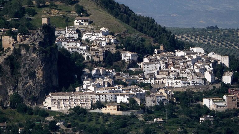
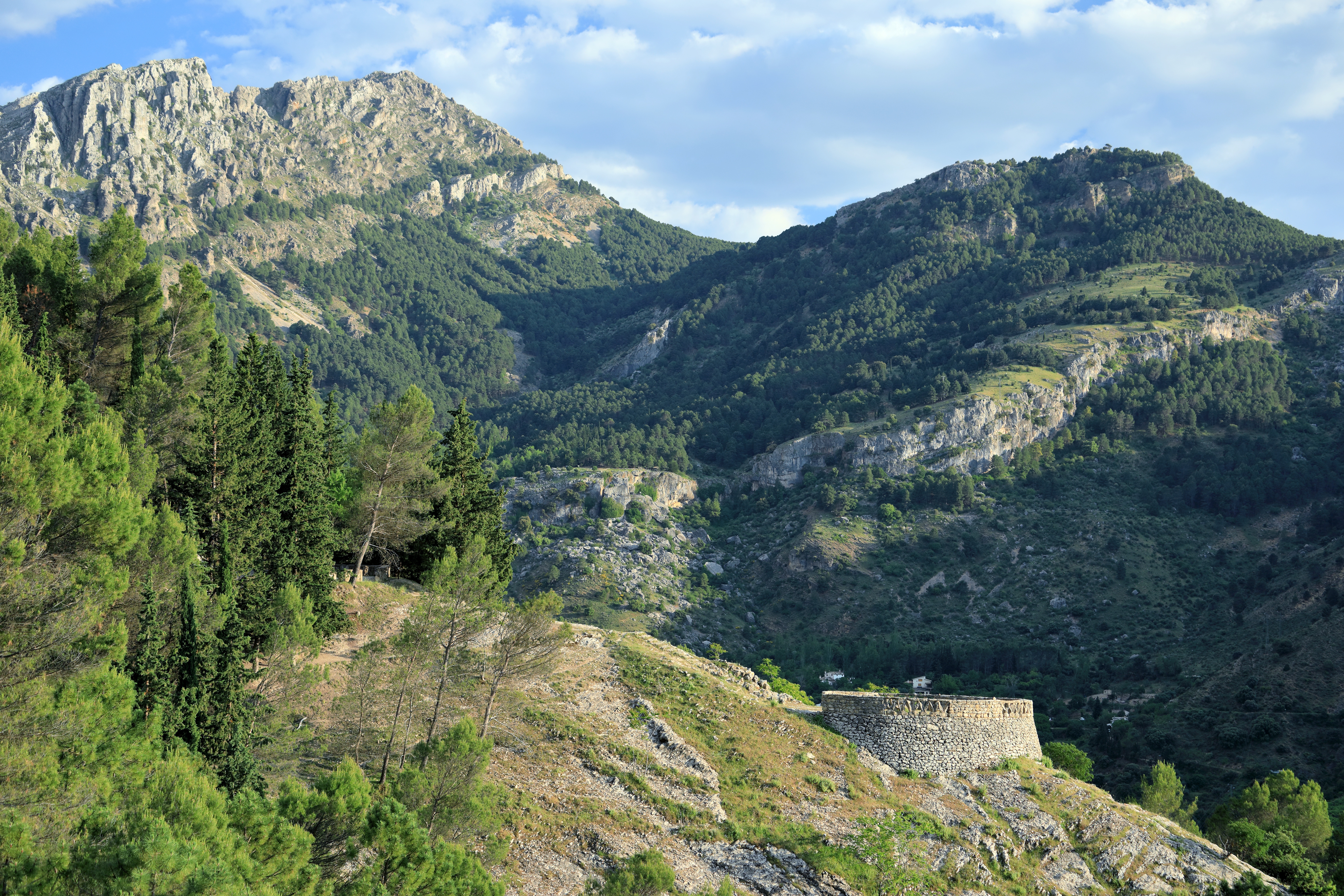
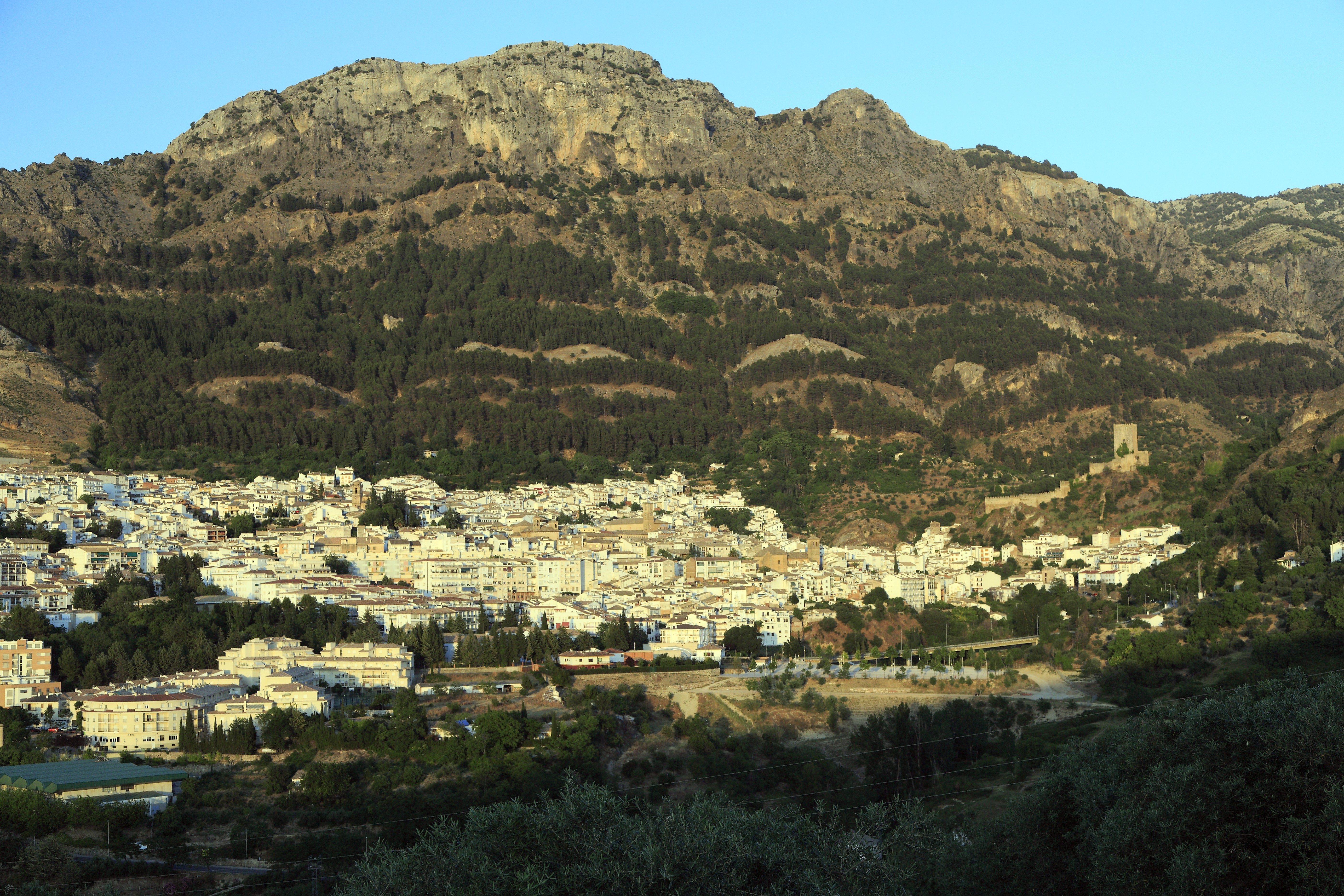
The Sierras de Cazorla, Segura y Las Villas Natural Park is Spain's largest protected area and a biosphere reserve. Pico Gilillo (1,848 m) tops the Sierra de Cazorla, the ridge rising straight behind the town. The Junta's signposted El Gilillo route (17.9 km, high difficulty) and the council's circular variant follow waymarked GR-247 Bosques del Sur paths.
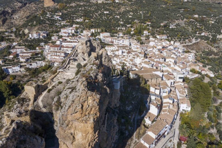
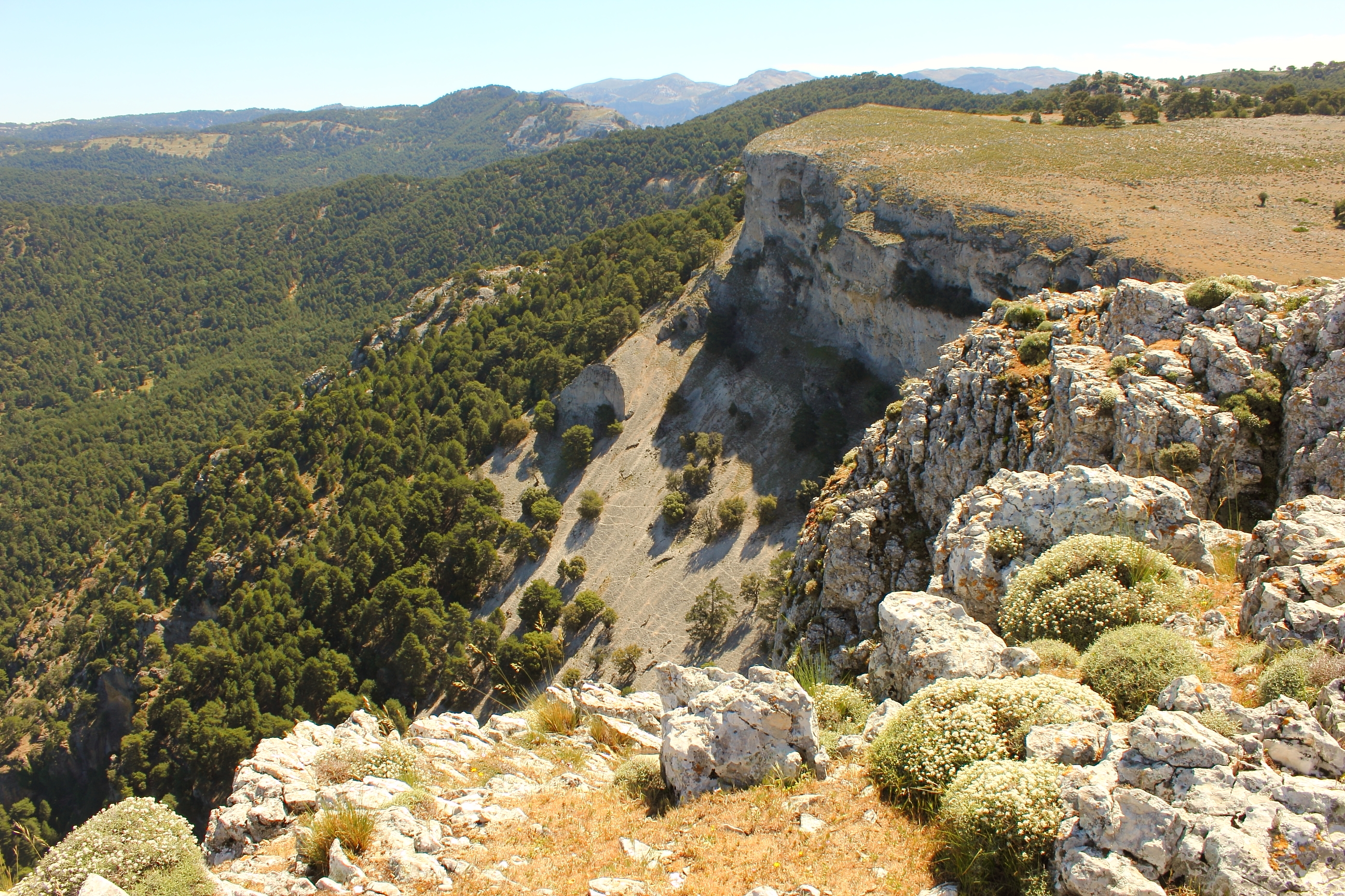
From Plaza de Santa María and its roofless church, follow the Río Cerezuelo path, then the GR-247 posts past the Ermita de San Sebastián, the Fuente de Nacelrío and the Riogazas recreation area. The path climbs through pine forest below the Loma de los Castellones to the Puerto del Gilillo (1,751 m); the last 600 m follow the ridge south, with a short scramble among boulders, to the trig point. Return via the cols and descend left by Puerto del Tejo and Prado Redondo to the Ermita de la Virgen de la Cabeza. A shorter option from km 6.5 of the La Iruela–El Chorro forest road is 9.9 km return with about 630 m of ascent.
The route is free. Park lower in town. Fountains are not guaranteed drinkable; carry 2.5 litres. The ridge is exposed to wind and can hold snow in winter, and on days of extreme fire risk the Junta can restrict forest access. It suits fit, experienced hikers.
The best months are April to June and October to November. Start by 08:00 in sturdy boots with warm layers.
Pico Gilillo Circular from Cazorla in pictures
What you’ll find
- Circular routeLoop trailFree
- Free accessFree visitFree
- HikingWalking routeFree
- Picnic areaPicnicFree
- Shuttle or busPublic transportBuy
- ViewpointScenic viewpointFree
Nearby places to visit
The walk starts in the old quarter of Cazorla (less than 1 km), below the Castillo de la Yedra (less than 1 km), which houses the museum of popular arts. Halfway up you pass close to the Vía Ferrata de La Escaleruela (2 km) beside its waterfall. Back in the valley, Oleotour Cazorla (Aceites Cazorla) (3 km) runs olive-oil mill visits and tastings, and the gorge of Cerrada del Utrero (7 km), where the young Guadalquivir squeezes through limestone walls, makes an easy follow-up walk on a rest day.
Pico Gilillo Circular from Cazorla at a glance
Category
Sports Outdoor adventures
Location
Sierra de Cazorla, Jaén
Town
Cazorla
Address
Plaza de Santa María, Cazorla (start of the Río Cerezuelo path) 23470
Opening hours
Open all year. Exposed ridge: avoid in high wind, snow or storms. On days of extreme fire risk the Junta may restrict access to forest paths.
Prices
Free; no permit needed. Public parking in Cazorla town.
Checked 5 Nov 2026 on the official website. Times and prices can change, so confirm before you go.
More places nearby
Other places within 25 km of Pico Gilillo Circular from Cazorla, nearest first.