Vía Verde de Lucainena de las Torres
Greenway on the old Lucainena–Agua Amarga mining railway: 15.5 km from Lucainena de las Torres to Venta del Pobre through the Sierra Alhamilla foothills, with a rock tunnel and old bridges.
About Vía Verde de Lucainena de las Torres
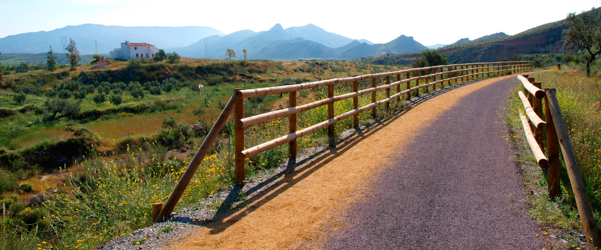
The railway carried iron ore from the mines of Lucainena de las Torres, in the foothills of the Sierra Alhamilla, to a loading dock at Agua Amarga 36.2 km away; the last load left in 1942. The restored section, a Vía Verde and Camino Natural, runs 15.5 km on compacted earth to Venta del Pobre and suits walkers, cyclists and people with reduced mobility. The link to the sea is still a future project.
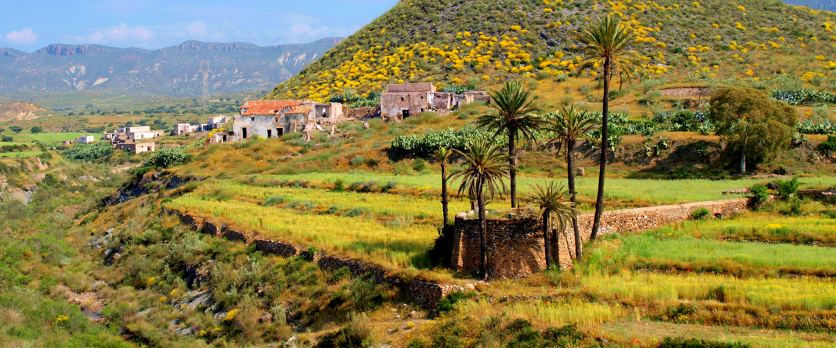
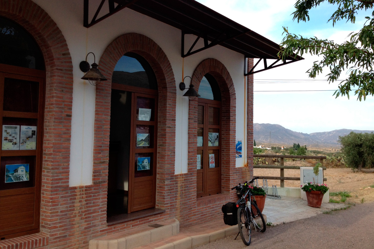
The route starts at the old station and mining office at km 4.5 of the AL-3107, now an information point. El Algarrobo, with remains of old medicinal baths, comes after about 1.2 km, then La Cerradilla rest area with shade, tables and a fountain. Near km 5 the trail crosses Rambla Honda by the El Saltador waterwheel. Past km 6 the ruined Rafaela bridge forces a short drop into the rambla and a steep climb back. After km 9 comes an unlit 85 m rock tunnel, then the restored Molinillo bridge at km 10.
The greenway is free and open all year; the middle section is a quiet paved lane. There is little shade, so avoid midday from June to September and carry 2 litres of water. Do not enter the rambla detour if water is flowing after storms. Bikes can be hired at the information point; there is parking at both ends, and Venta del Pobre has a restaurant.
The best months are October to May. Bring a light for the tunnel and a helmet. Out and back is 31 km; most riders lunch at Venta del Pobre before the gentle climb home.
Vía Verde de Lucainena de las Torres in pictures
What you’ll find
- Bike hireBike rentalBuy
- Car parkParkingFree
- CyclingRoad or greenway cyclingFree
- Family friendlyEasy for childrenFree
- Free accessFree visitFree
- Linear routeOne-way trailFree
- Picnic areaPicnicFree
- Step-free accessAccessible visitFree
Nearby places to visit
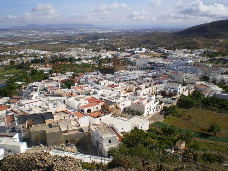
The trail starts in Lucainena de las Torres (less than 1 km), where the old calcination kilns still stand above the village. It ends at Venta del Pobre (13 km), a classic roadside restaurant for a midday stop with hearty stews before riding back. North of the hills lies the white village of Sorbas (9 km), perched above a gypsum gorge, and the show caves of Cuevas de Sorbas (10 km) run guided visits through the karst. For a different way into the desert, try Horse Riding in the Tabernas Desert (18 km).
Vía Verde de Lucainena de las Torres at a glance
Category
Sports Outdoor adventures
Location
Filabres-Tabernas, Almería
Town
Lucainena de las Torres
Address
Old railway station and information point, AL-3107 km 4.5 04210
Opening hours
Open all year. Avoid the hottest hours from June to September; little shade outside the rest areas.
Prices
Free. Bike hire at the information point beside the start in Lucainena (ask locally for times and rates).
Checked 5 Nov 2026 on the official website. Times and prices can change, so confirm before you go.
More places nearby
Other places within 25 km of Vía Verde de Lucainena de las Torres, nearest first.