La Tiñosa Ascent from Las Lagunillas
The permit-only climb to La Tiñosa (1,568 m), the roof of Córdoba province: 5.8 km each way from Las Lagunillas via Puerto Mahina and the Cueva del Morrión, with about 760 m of ascent.
About La Tiñosa Ascent from Las Lagunillas
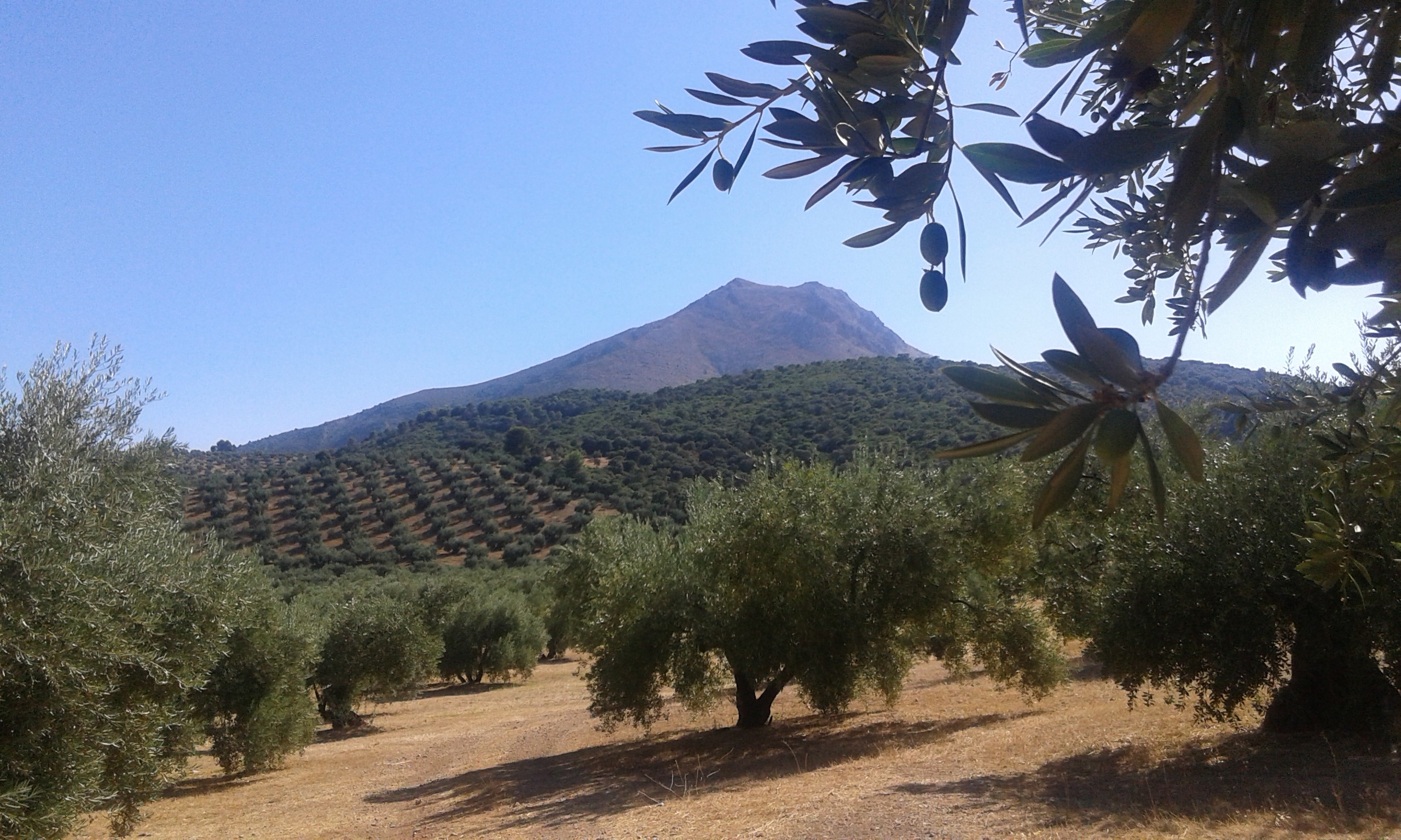
La Tiñosa (1,568 m) is the highest point of Córdoba province, a limestone ridge in the Sierra Horconera within the Sierras Subbéticas Natural Park and UNESCO Global Geopark. The only authorised route is the park's signposted trail from the hamlet of Las Lagunillas (810 m), in Priego de Córdoba, which needs a free permit and has a daily quota because it enters a zone of high protection.
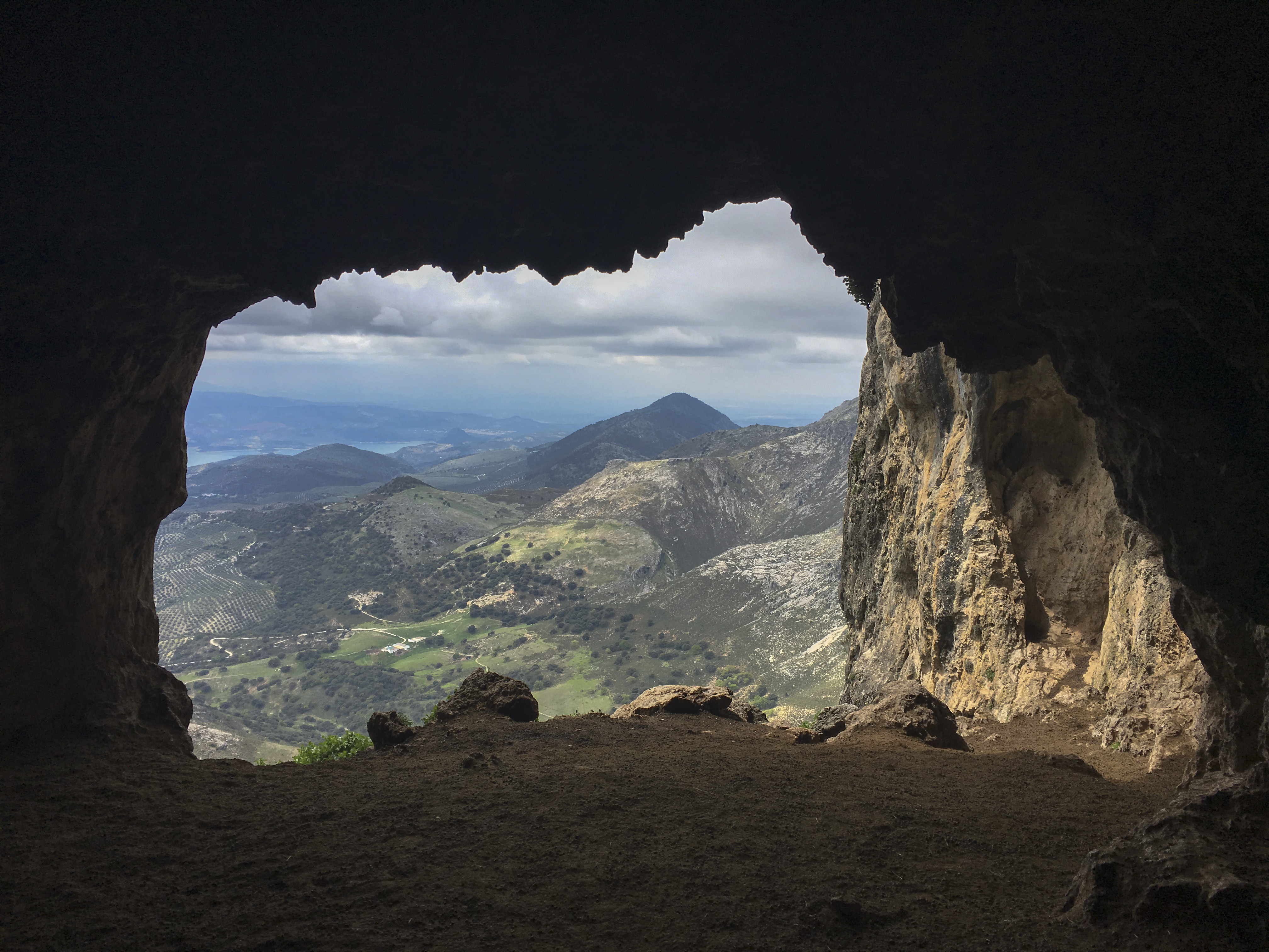
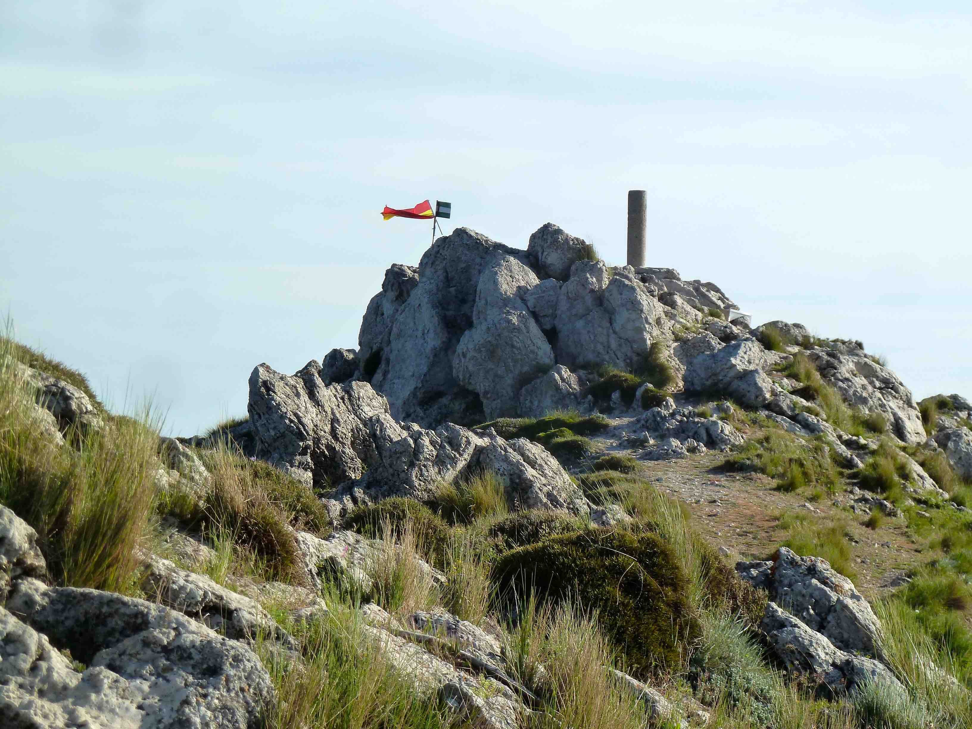
From Calle Toledo the Camino de Cañatienda crosses olive groves, then follows the dry Arroyo de Cañatienda through holm oaks to a ruined cortijo. At Puerto Mahina (1,161 m, 3.7 km) the path turns east and steepens over rock, marked by cairns and paint, to the Cueva del Morrión (1,412 m, 4.7 km), an old livestock shelter, and the summit trig pillar (5.8 km). Allow 3 hours up and return the same way: about 760 m of ascent.
Book the free authorisation on the Junta de Andalucía quota platform (via the Ventana del Visitante) and carry it. The trail crosses farms with livestock and guard dogs: close gates and keep dogs on a lead. Park in the village. There is no water or shade above Puerto Mahina and the descent is slippery; fog and snow make the top serious. It suits fit, experienced walkers.
Go from October to May on a clear day; in summer start at first light. Take 2–3 L of water, boots with grip, poles and a windproof. Sign the visitors' book kept in a metal box on the summit.
La Tiñosa Ascent from Las Lagunillas in pictures
What you’ll find
- Car parkParkingFree
- Dogs allowedDogs on leadFree
- HikingWalking routeFree
- Linear routeOne-way trailFree
- Permit requiredAccess permitBook
- ViewpointScenic viewpointFree
Nearby places to visit
Back in the valley, Priego de Córdoba (11 km) is the baroque capital of the Subbética, with the 139-spout Fuente del Rey, Priego de Córdoba (10 km) a short walk from the centre. The castle village of Carcabuey (10 km) sits on the road north towards Cabra. To the south-west, Iznájar (12 km) overlooks the reservoir seen from the summit, where Kayaking on the Iznájar Reservoir (13 km) is a gentler way to spend the following day, and Rute's Anís Museum (11 km) tells the story of the local aniseed spirit.
La Tiñosa Ascent from Las Lagunillas at a glance
Category
Sports Outdoor adventures
Town
Priego de Córdoba
Address
Calle Toledo, aldea de Las Lagunillas (start of the signposted La Tiñosa trail), 14800 Priego de Córdoba, Córdoba, Spain
Opening hours
Open all year only with a free permit for a specific date (daily quota). The park can close the trail in snow, storms or extreme fire risk, so check the Ventana del Visitante the day before. Start by 08:00 in summer.
Prices
Free; authorisation required in advance through the Junta de Andalucía online quota system. Free parking in Las Lagunillas.
Checked 5 Nov 2026 on the official website. Times and prices can change, so confirm before you go.
Website
picotinosa.com
More places nearby
Other places within 25 km of La Tiñosa Ascent from Las Lagunillas, nearest first.