Rock of Gibraltar
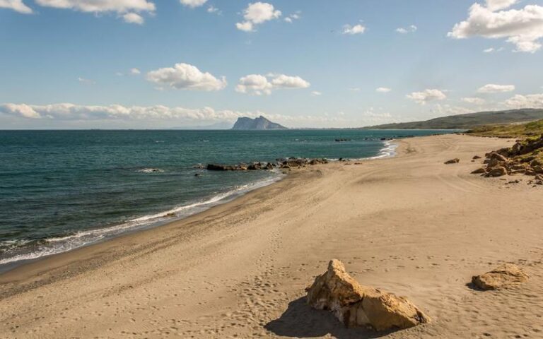
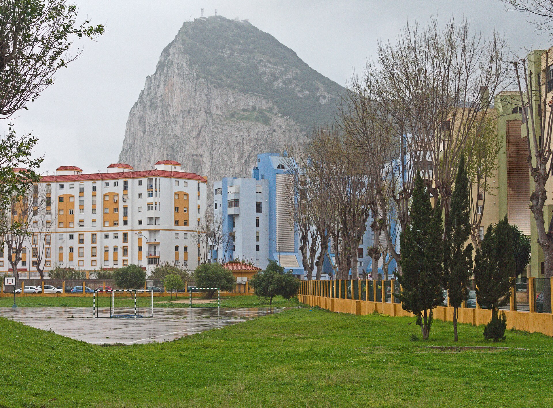
The Rock of Gibraltar is a 426-metre limestone monolith guarding the entrance to the Mediterranean, home to Europe's only wild monkeys, siege tunnels and caves, with views across the Strait to Morocco.
About Rock of Gibraltar
The Rock is a monolithic promontory of Jurassic limestone, 426 metres high at its southern summit. Its sheer eastern face drops into the Mediterranean, while the town of Gibraltar spreads over the gentler western slopes. The Romans knew it as Mons Calpe, and its modern name comes from the Arabic Jabal Tariq, the mountain of Tariq, after the commander who landed here in 711.
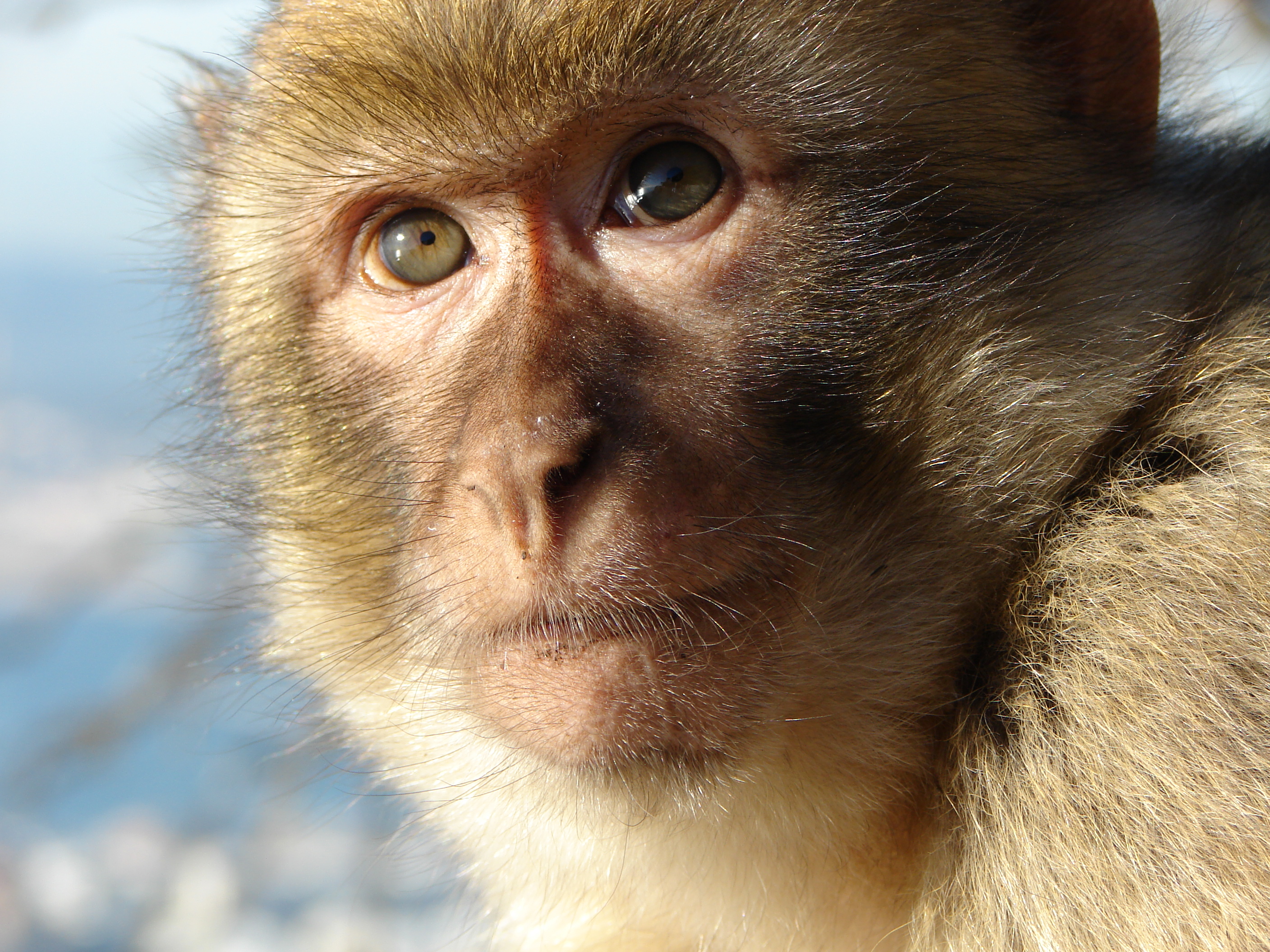
Much of the upper Rock is a nature reserve, home to around 300 Barbary macaques, the only wild monkeys in Europe. It is also a bottleneck for migrating birds, with hundreds of thousands of raptors crossing the Strait each year. The limestone holds more than 100 caves: St Michael's Cave is the best known, while Gorham's Cave near sea level, used by Neanderthals, is part of a UNESCO World Heritage Site.
The Great Siege Tunnels were dug by the British garrison during the siege of 1779 to 1783, and the Moorish Castle recalls the centuries of Muslim rule. A cable car climbs to the top station at 387 metres, or you can walk up through the reserve; on clear days the view reaches across the Strait to the mountains of Morocco.
Rock of Gibraltar in pictures
Nearby places to visit
Gibraltar is reached on foot or by car across the border at La Línea de la Concepción. Tarifa, the southernmost point of mainland Europe, is about 45 minutes west, and the hilltop village of Castellar de la Frontera is a short drive inland.
Rock of Gibraltar at a glance
Category
Nature Natural wonders
Location
Campo de Gibraltar, Cádiz
Town
La Línea de la Concepción
Address
Rock of Gibraltar, Gibraltar
More places nearby
Other places within 25 km of Rock of Gibraltar, nearest first.